Rose Peak
Hike Review
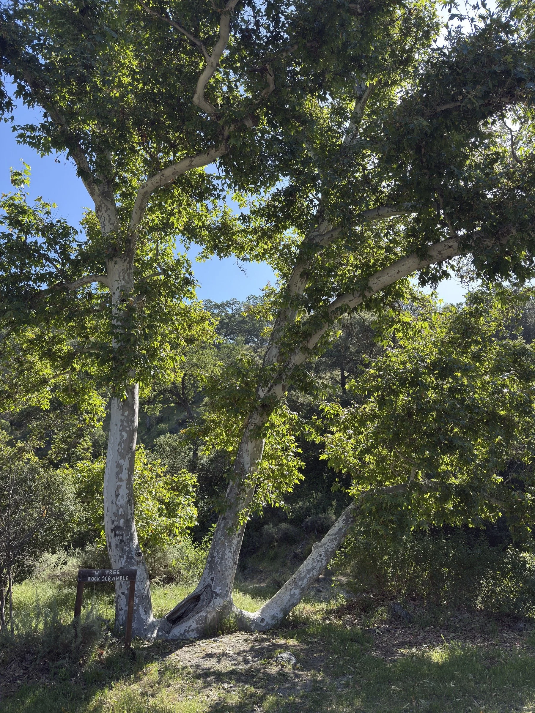
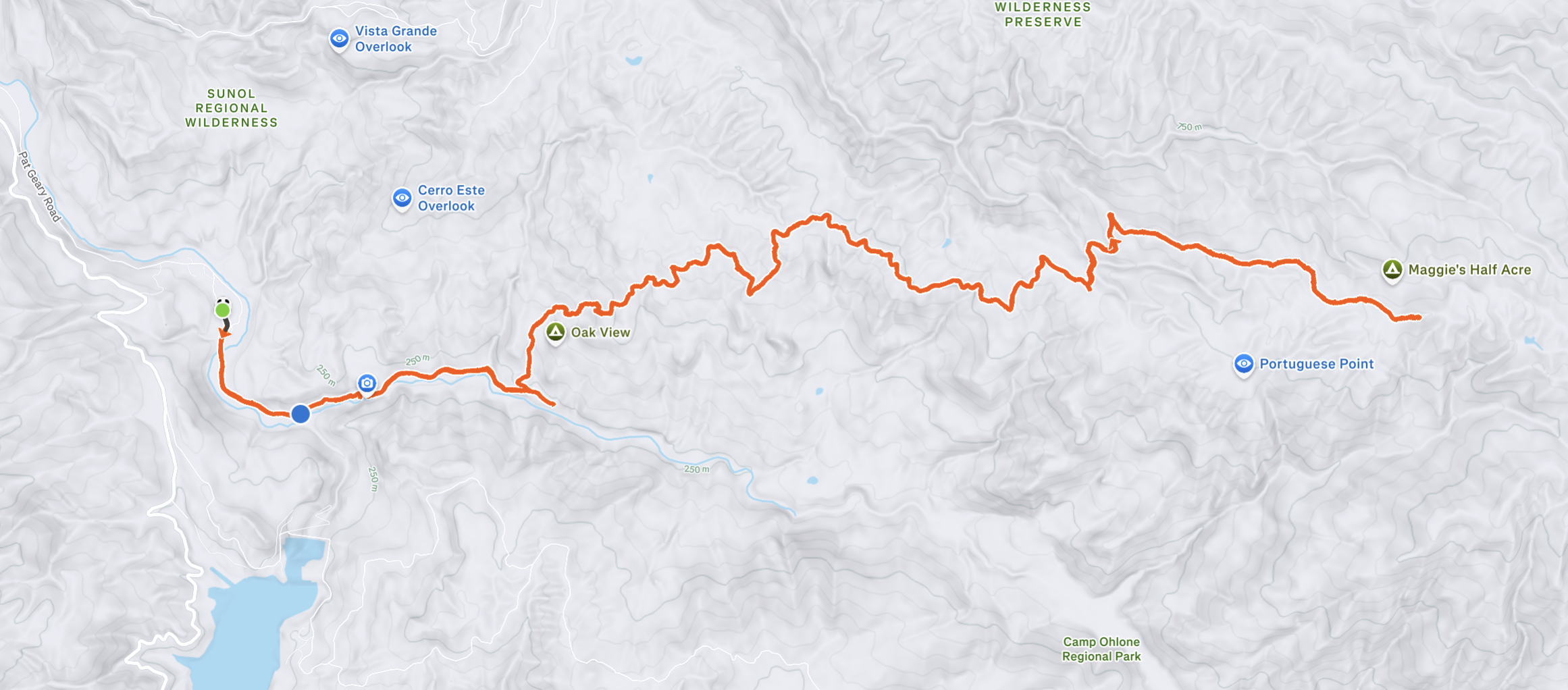
I hiked to the top of Rose Peak from Sunol-Ohlone Regional Wilderness and back in a day. To get to the top, I took Camp Ohlone Road, Backpack Road, McCorkle Trail, Mid Road, and Buckboard Trail.
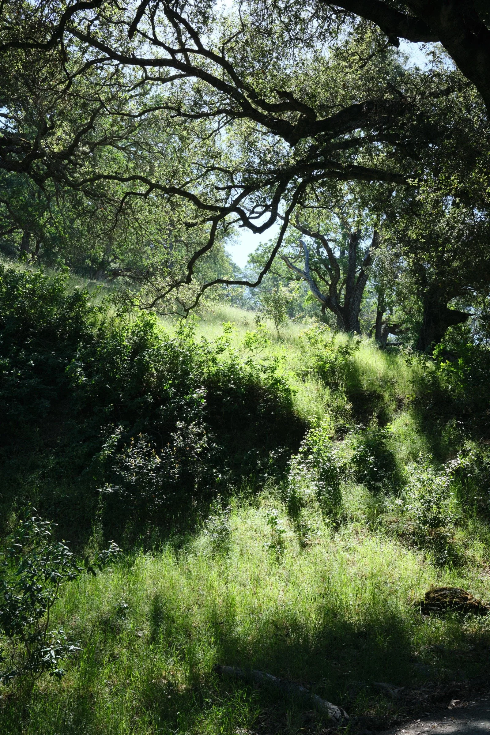
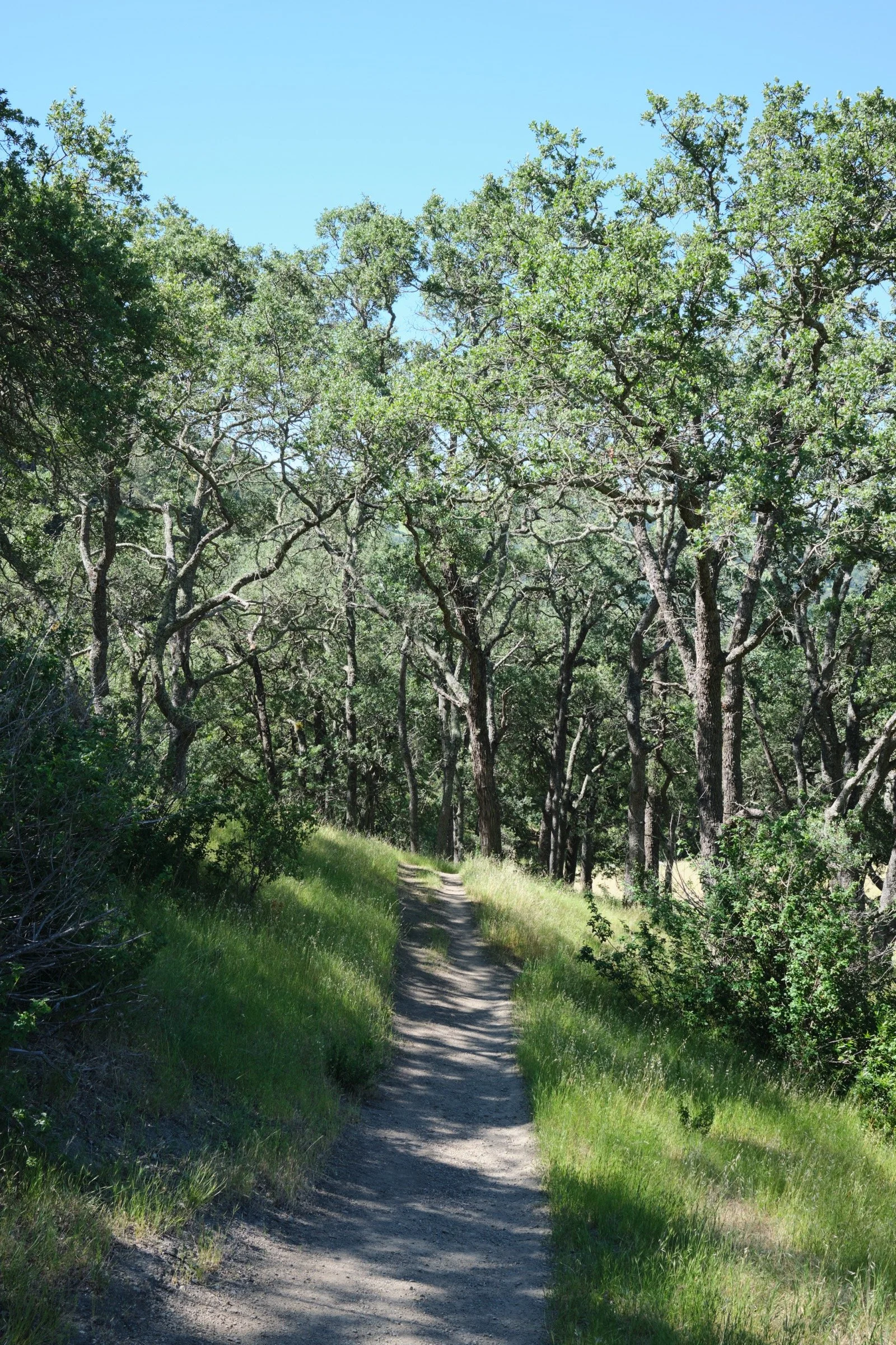
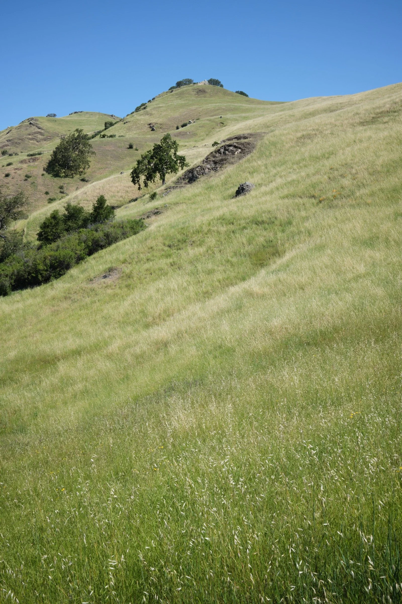
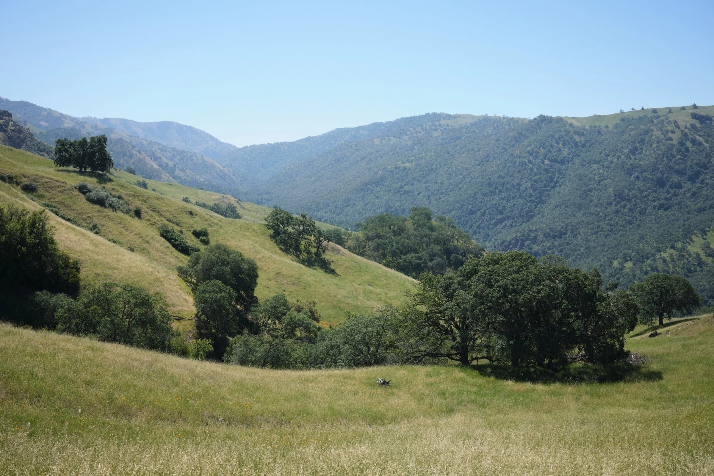
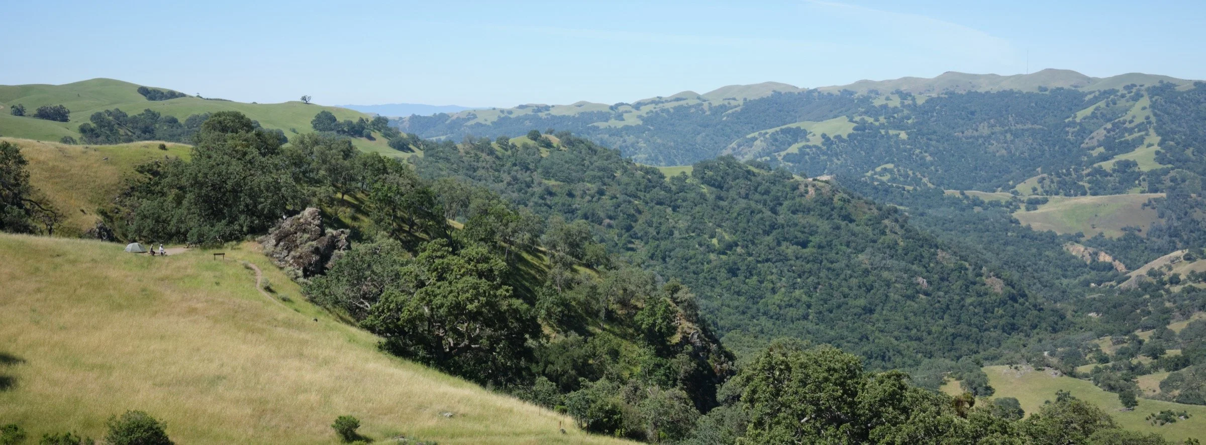
Camp Ohlone Road was the easiest and nicest, with it being a double-track fire road with plenty of shade and moderate temperatures with Alameda Creek running parallel to it. The rest of the roads and trails lacked shade and it was offensively hot when I hiked it. Of note, the part of Buckboard Trail that comes right after getting to it from Mid Road was so steep (down and then up) that it was soul-crushing.
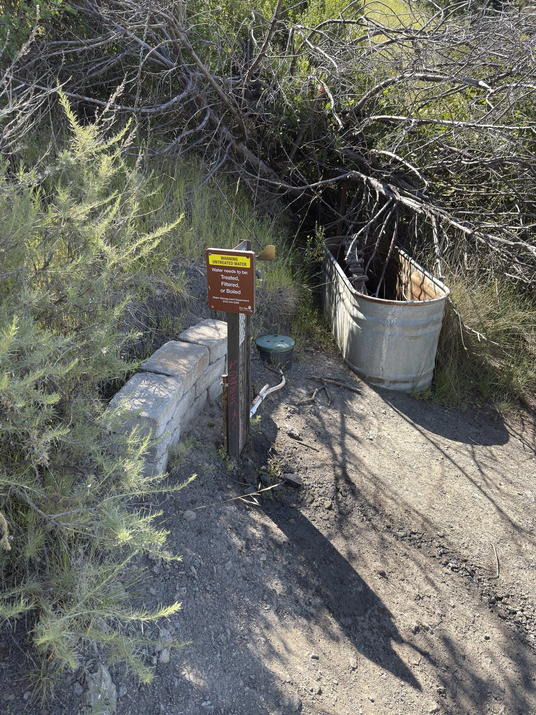
I had read online that there were plenty of sources of water along the way, but it turned out to be false. While it wasn’t a complete lie, the water that was available was either stale pond water with lots of animal scat around it or creeks that only had a trickle of water. And while I had a water filter with me, I did not trust it. Instead, I would advise refilling water at Sunol Backpack Camp and Maggie’s Half Acre. Both Maggie’s Half Acre and Doe Canyon Horse Camp require an additional quarter mile of hiking while losing (and gaining) 110’ or 150’ of elevation (respectively).
I saw less than 10 people on the trail once I got past Little Yosemite. The few people that I saw were either backpackers or long-distance hikers like me. While I wasn’t the slowest, I wasn’t the fastest either.
Due to the presence of the backpack camps, there were trash receptacles on the hike. I did not see a single piece of trash while on the hike, which was a nice surprise.
What I Learned
The forecast for the high of Sunol-Ohlone Regional Wilderness said that it’d be 75 degrees. Unfortunately, I believe it may have been 10 degrees hotter once I got past Sunol Backpack Camp. Which meant that the middle 11 miles were a drag. I made it, but man it was a miserable hike. It wasn’t the worst hike I have done, but it’s in the top 5. A tangent… I think the worst hiking experience I’ve ever had was at Castle Crags State Park. It was hot and I did not have my headphones (so no entertainment to distract me). I think the only time it was nice on that hike was at the very top when there was a nice breeze.
With cell reception turned off, the iPhone 16 Pro used less than 30% battery during the hike. The Apple Watch Ultra used ~60% to track my hike (I did have theater mode and low battery mode turned on). I was pretty happy with how well it tracked for such a long hike. I was also surprised that I had a decent cell connection once I got past 3000’.
It was so hot that on the hike down, I still hit 160 bpm on my heart rate monitor. For comparison, on the way up, I was hitting 170 bpm on the steep ascents! When I got down to Ohlone Road, my heart rate was down in the 120 bpm range.
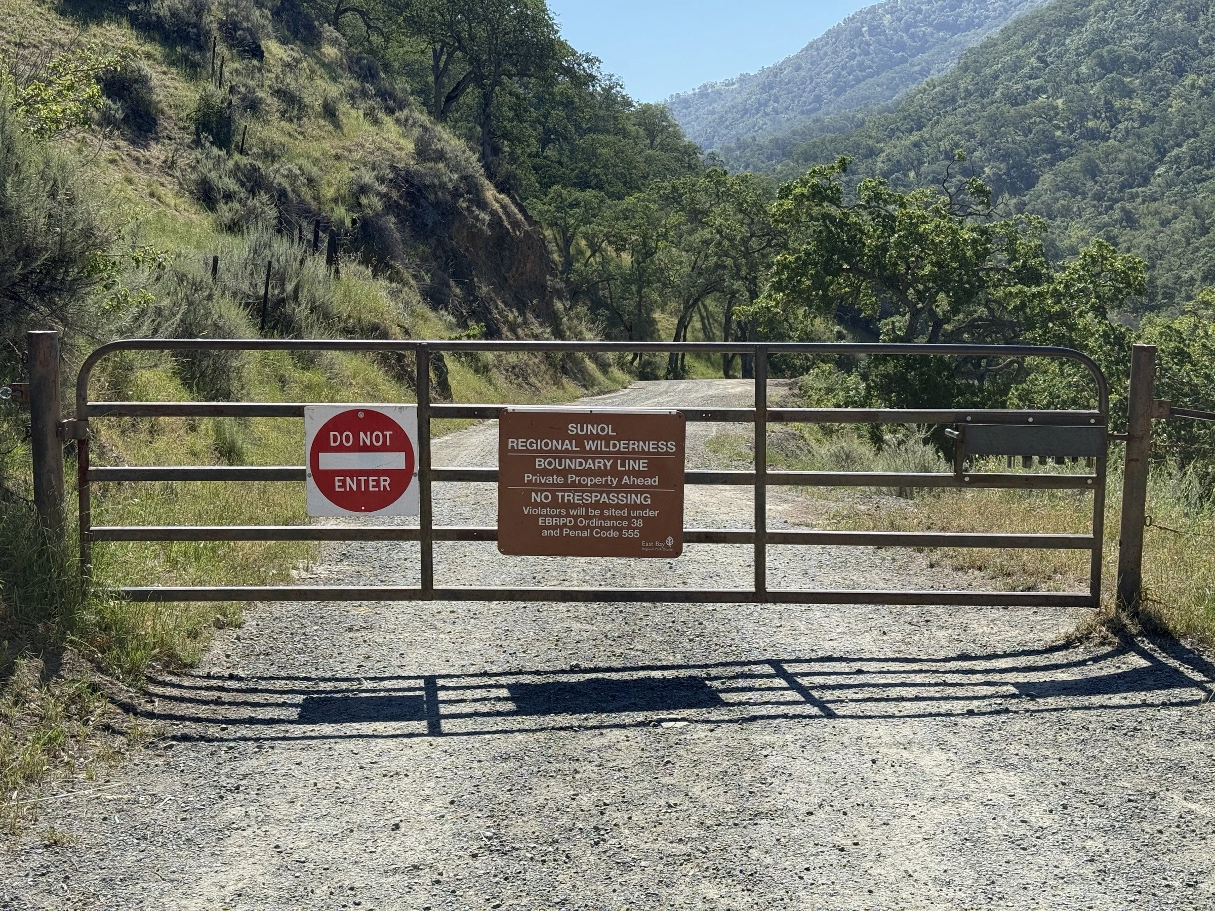
There were a couple of routes that CalTopo offered (so did GaiaGPS) which were shorter, but these routes had gates across them that stated no trespassing. If these roads were open, this route would have been maybe 20% shorter. But be warned that we hikers must only use the Ohlone Wilderness Trail.
Media Consumed
I Am Legend by Richard Matheson — finished!
Ardennes 1944 by Antony Beevor
What Happened?
19.3 miles, 9 hrs 10 mins, 4669 ft of ascent
I first heard of Rose Peak when I learned about the San Francisco Bay Area Six-Pack of Peaks Challenge. Over the years, I have hiked all the other peaks, but left the most difficult (in terms of distance and elevation gain) one be. I kept telling myself that I would find a cooler day to do it, but with that excuse becoming repetitive, I just went for it to prove to myself that I could still do hard things.
I started from home a bit later than optimal (to get to Sunol-Ohlone Regional Wilderness right when it opens to enjoy the cooler temperatures) because I wanted to bring a delicious Duc Huong sandwich, but they didn’t pick up the phone, so instead, I just picked up three Sausage McMuffin sandwiches on the way over. It saved a bit of money and it added less than five minutes on the drive over, so I was decently happy.
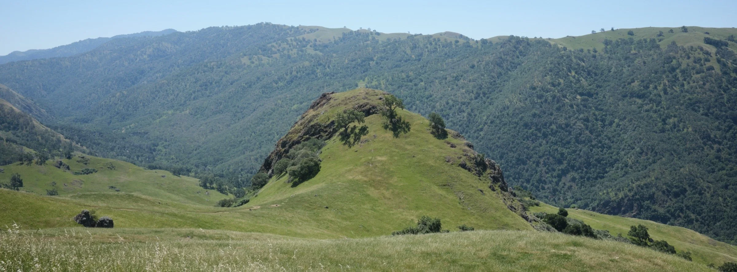
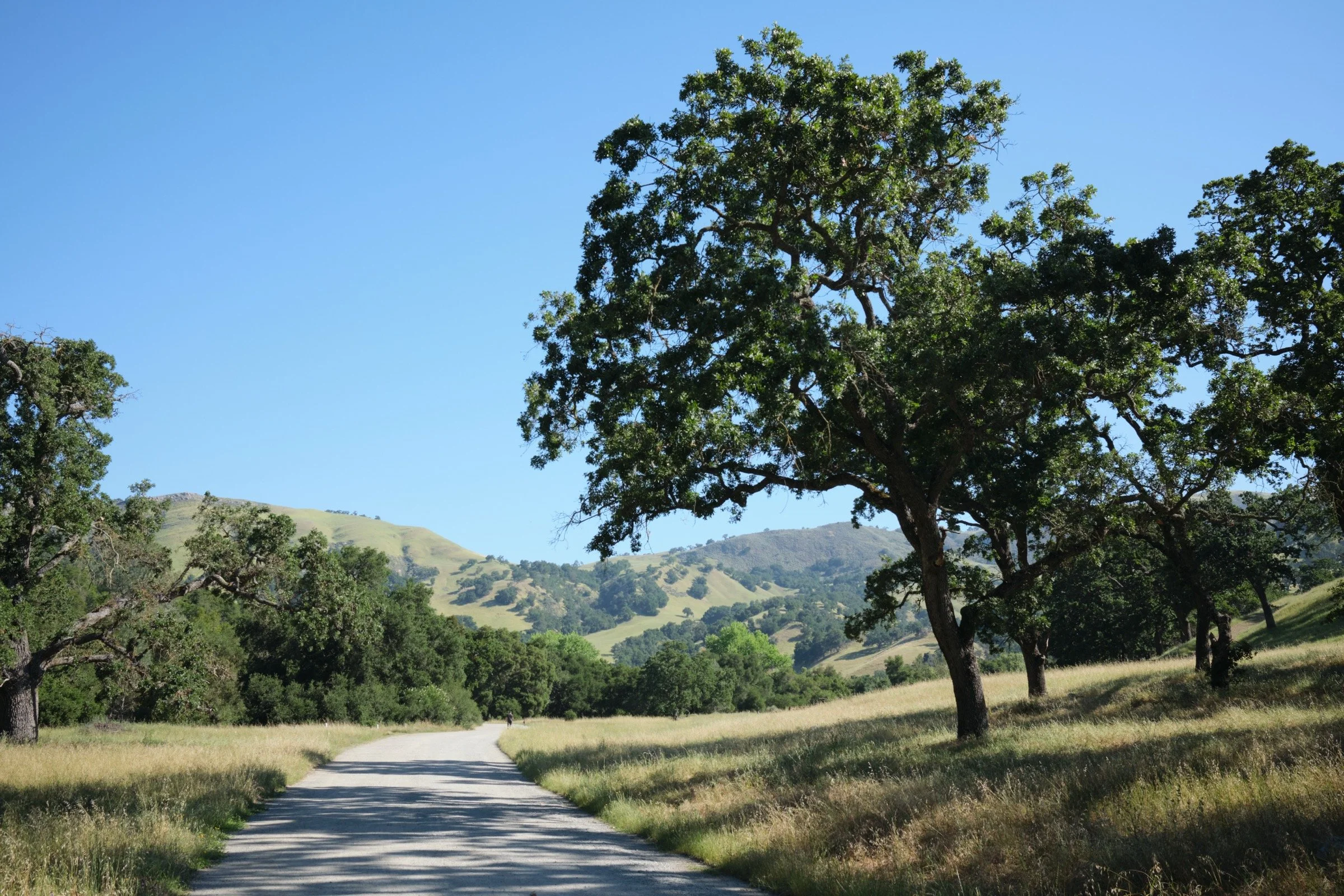
After paying $5 for parking, I started the hike at a steady pace. I knew that the hike would be a bit longer than the 17 miles that I had seen on Reddit and AllTrails, so I set a target in my head for 2 mph, so that I could finish by 5:40 p.m. (I had a dinner with friends planned; for those without social plans, the park is open until 8 p.m.). I rather enjoyed the gradual elevation gain and the wonderful views up until I got to Backpack Road. Once I got there, the elevation per mile doubled, the weather got warm, and the abundant shade disappeared—it was time to prove my obstinacy.
I think once I got to Mid Trail, I put my camera away, switched from a serious audiobook to a funny podcast, and just focused on hiking. My brain, not liking misery for some reason, kept telling me to turn back, but I just kept telling it the reasons why I had to go on. This defeatist part of my brain kept trying to scare me or cajole me even when I was 100’ from the peak itself. But once I made it to the top, that part of my brain shut off, and I got to enjoy the peak for a minute or two before starting to head back.
Because I was so overheated, I did not stay at the peak and sought out good shade with wooden seating about half a mile from the peak. I enjoyed a five-minute rest here, while now starting to worry about my slow pace. I was surprised I had signal in this area and sent off a note to Cassie that I would probably run late.
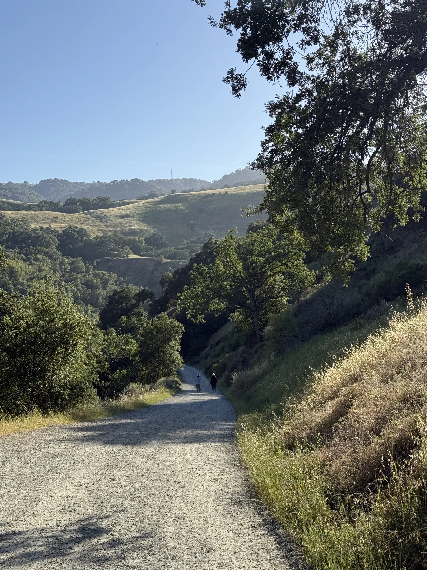
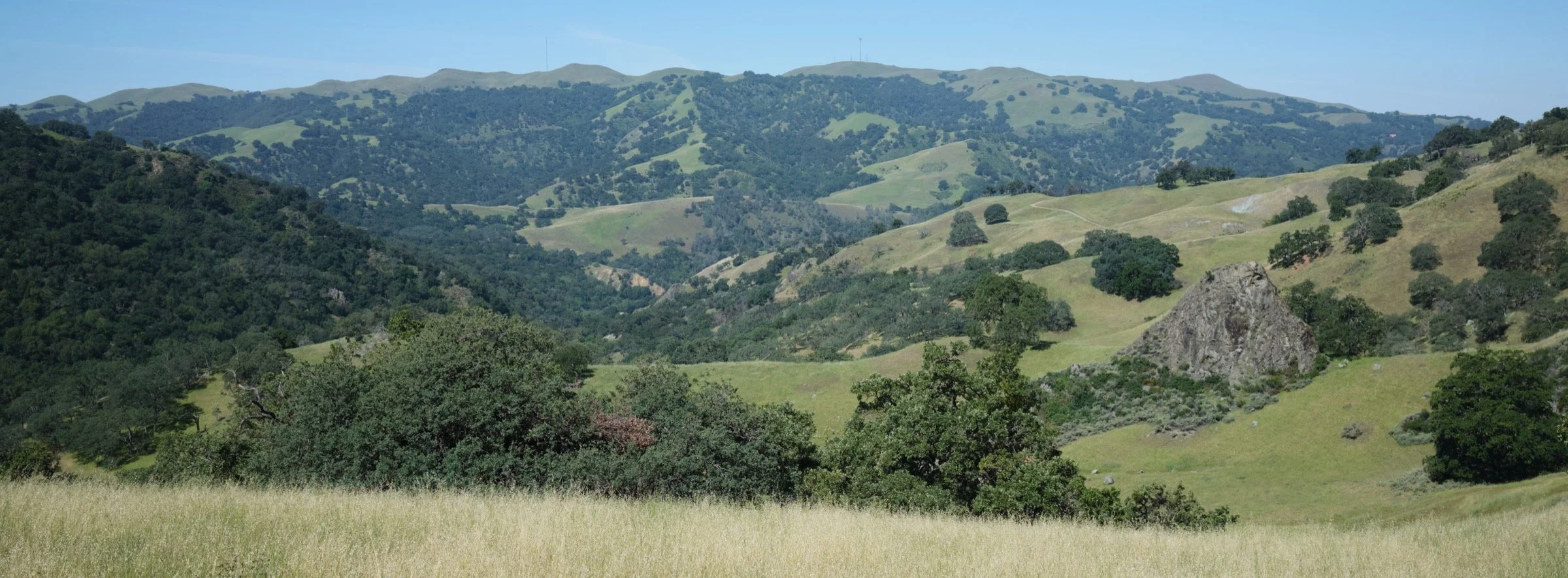
The rest of the hike down was pretty miserable for the same reasons. It was hot, there was not enough shade to my liking, and due to my poor physical conditioning, my feet were achy. But I did have a good moment where I helped a hiker go the correct way back to Sunol—this person had summited a few minutes after me and had gotten past me while I took my shade break, but near backpacker camp, I saw them hiking the wrong way. He was adamant that I was wrong and that he was right in that he was heading towards Sunol, but I calmly explained why he was actually hiking back up to Rose Peak. After a few minutes, he understood his mistake and headed the correct way back to Sunol. There was one more amazing moment when I got to the backpacker camp as I got to drench myself with water. Thank goodness for clean-enough, running water.
Once I got back down to Camp Ohlone Road, the sun was low on the horizon and it provided ample shade for my hot and tired body. This made the last mile or two as nice as I could’ve asked for, and I rather enjoyed the last bit. Back at the car, I then quickly changed into a clean t-shirt and headed off to dinner with friends, where good fortunes delayed my friends by half an hour, making me only 20 minutes late instead of the egregious 50!
On the drive to the restaurant, all I could think about was how miserable I felt on the hike and that this hike was not worth it. However, sitting at home, a few days removed from the hike, I would like to take back all the negativity I felt. There sights and sounds that were beautiful and the hike was a good challenge. While the view at the Rose Peak itself was uninspiring, the journey to the top was where I gained confidence and respect for my body. So, all in all, the hike is a good one, though I’ll want a cold-spell in the area to even want to think about doing it again.