Dardanelle West
Hike Review
We parked at the end of Forest Road 6N06 and hiked about a mile of McCormick Creek Trail before heading off-trail and directly to the west shoulder of Dardanelles West.
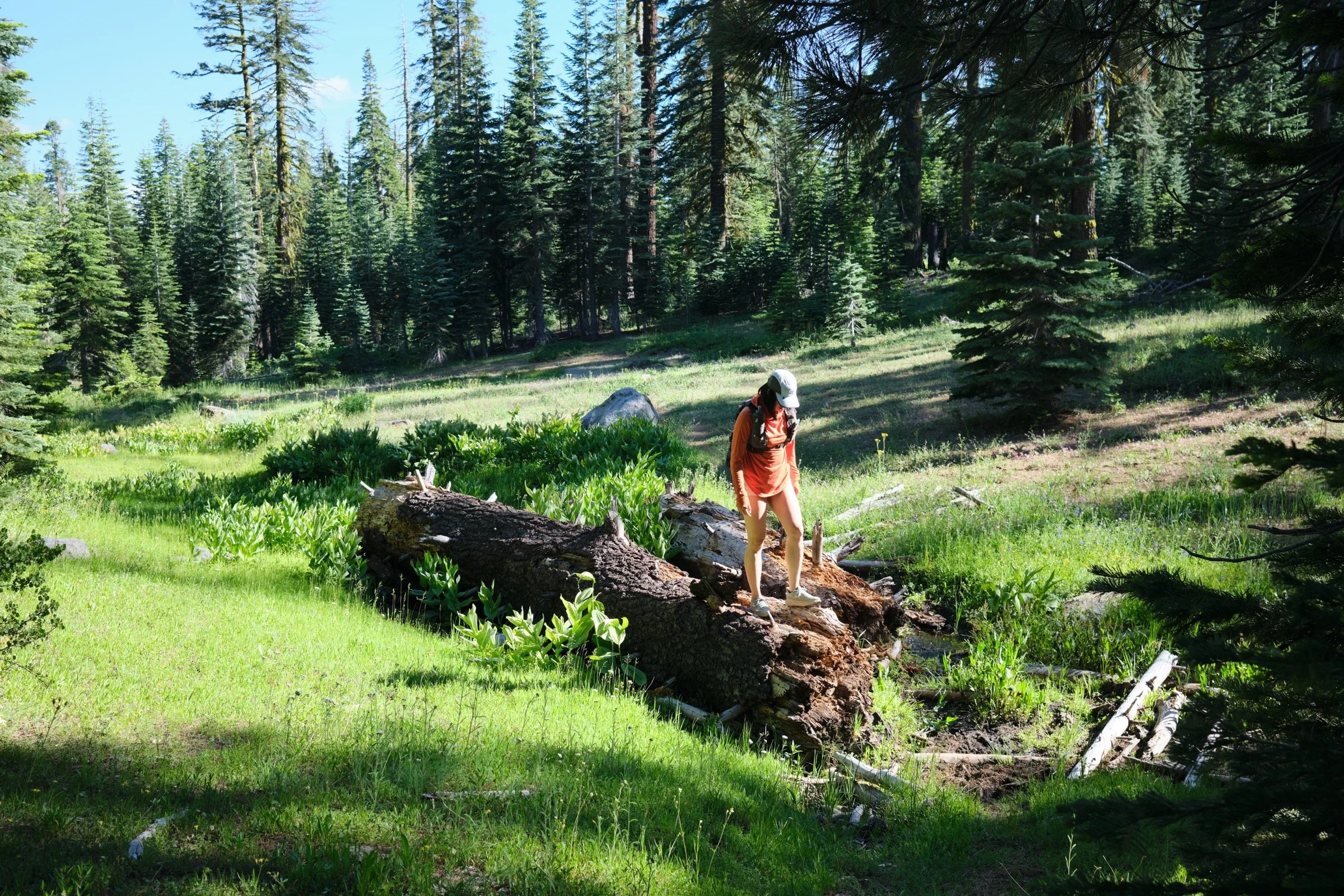
McCormick Creek Trail was hard to follow and not well-kept. There were parts where the trail seemed to go directly into bushes or a fallen tree, but because we had a map, we were able to find the trail once we got off the trail. There were a ton of birds though, so birdsong was beautiful to hear. Oh, and tons of shade.
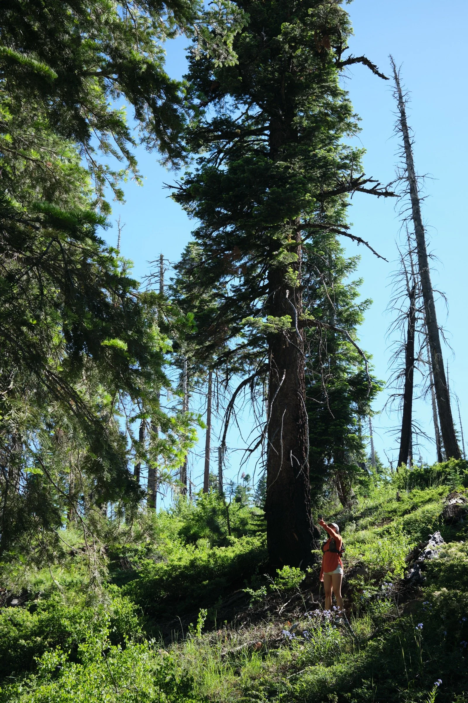
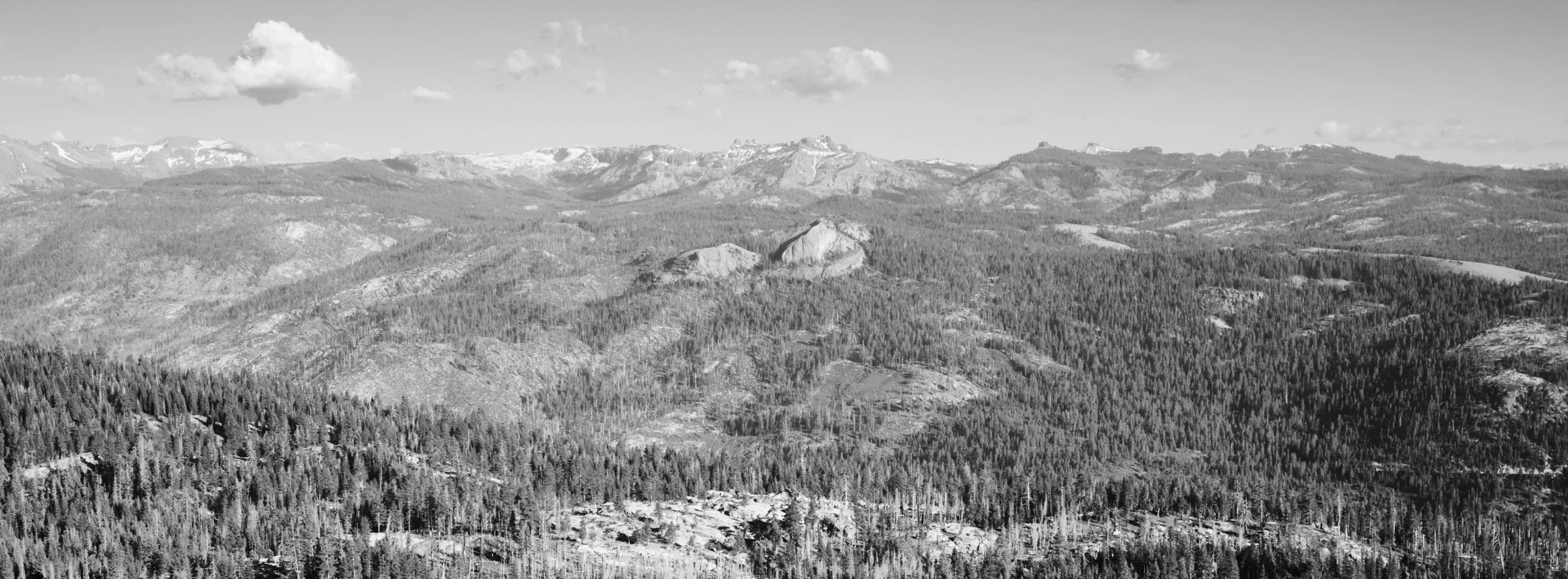
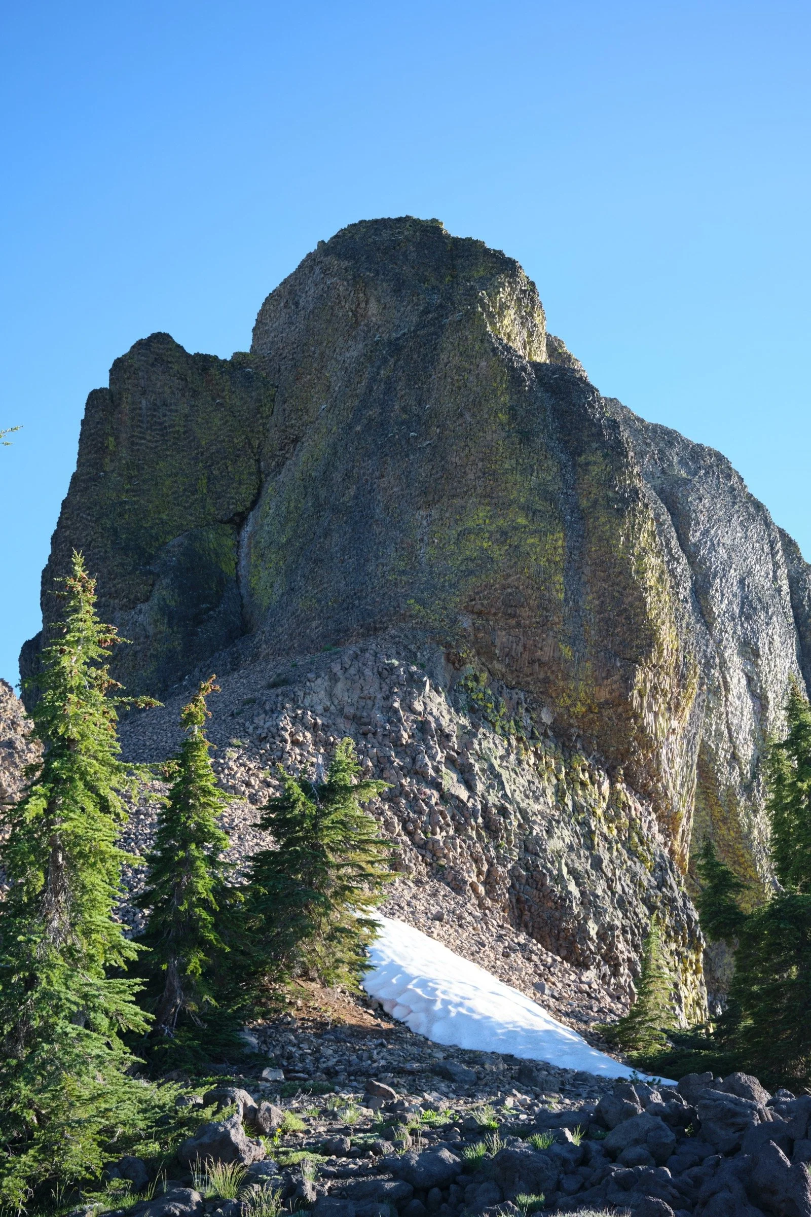
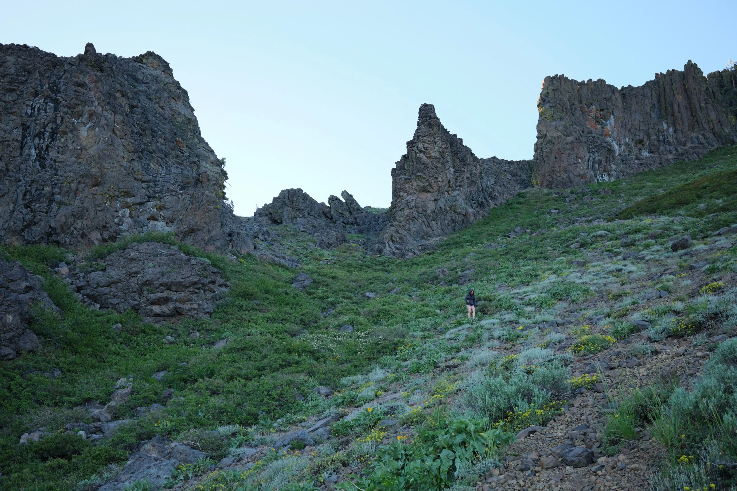
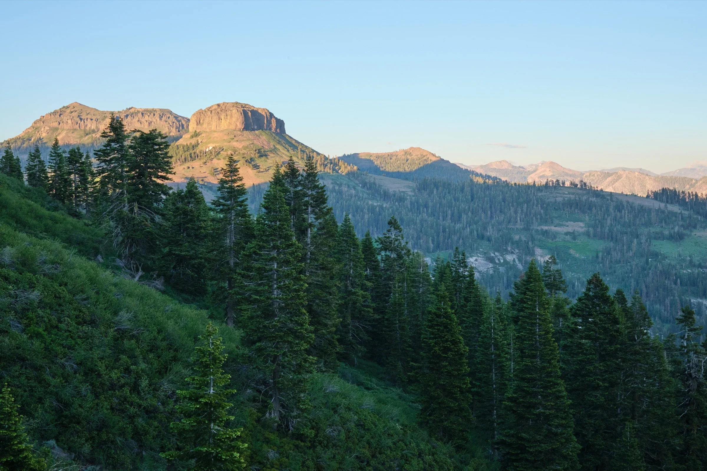
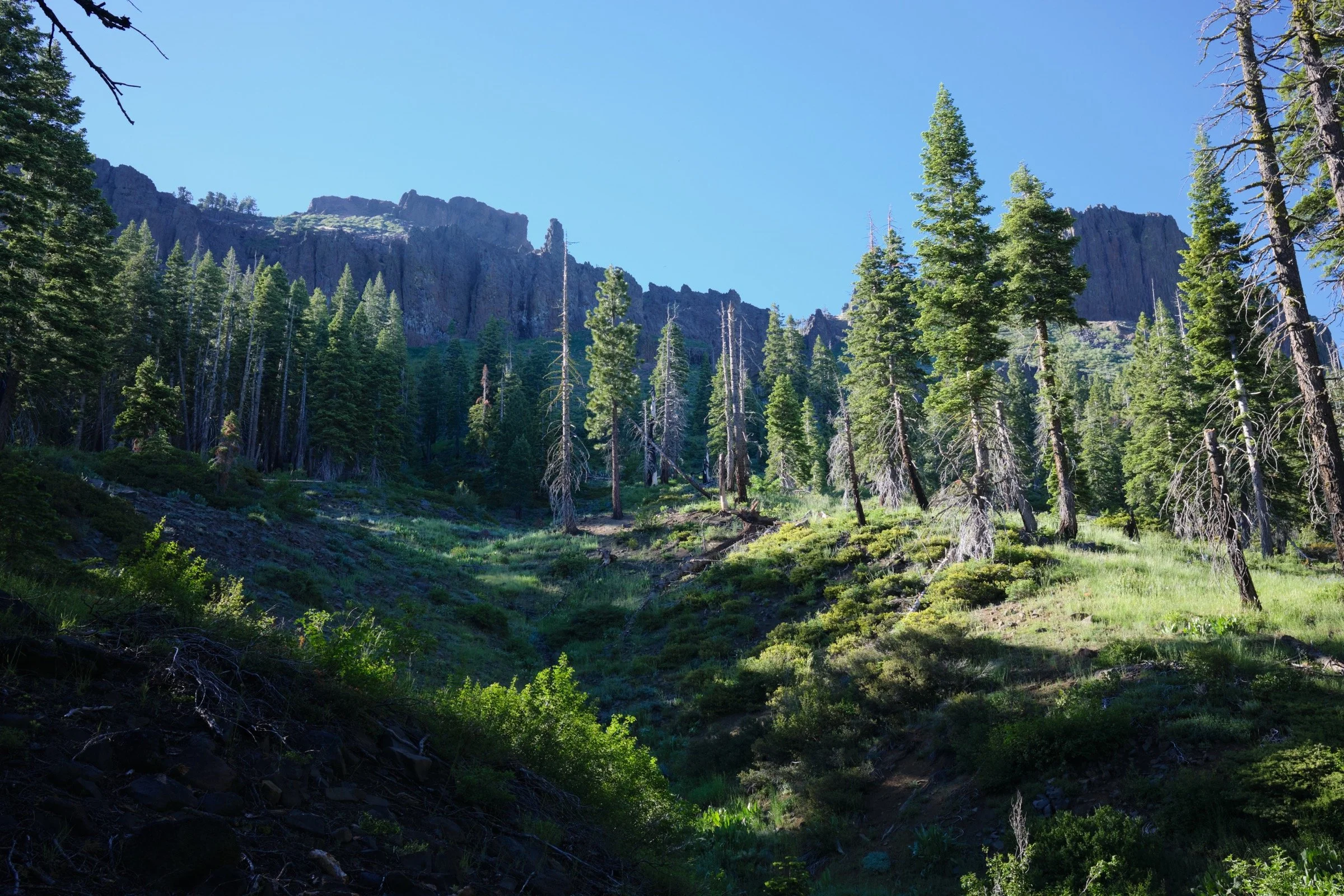
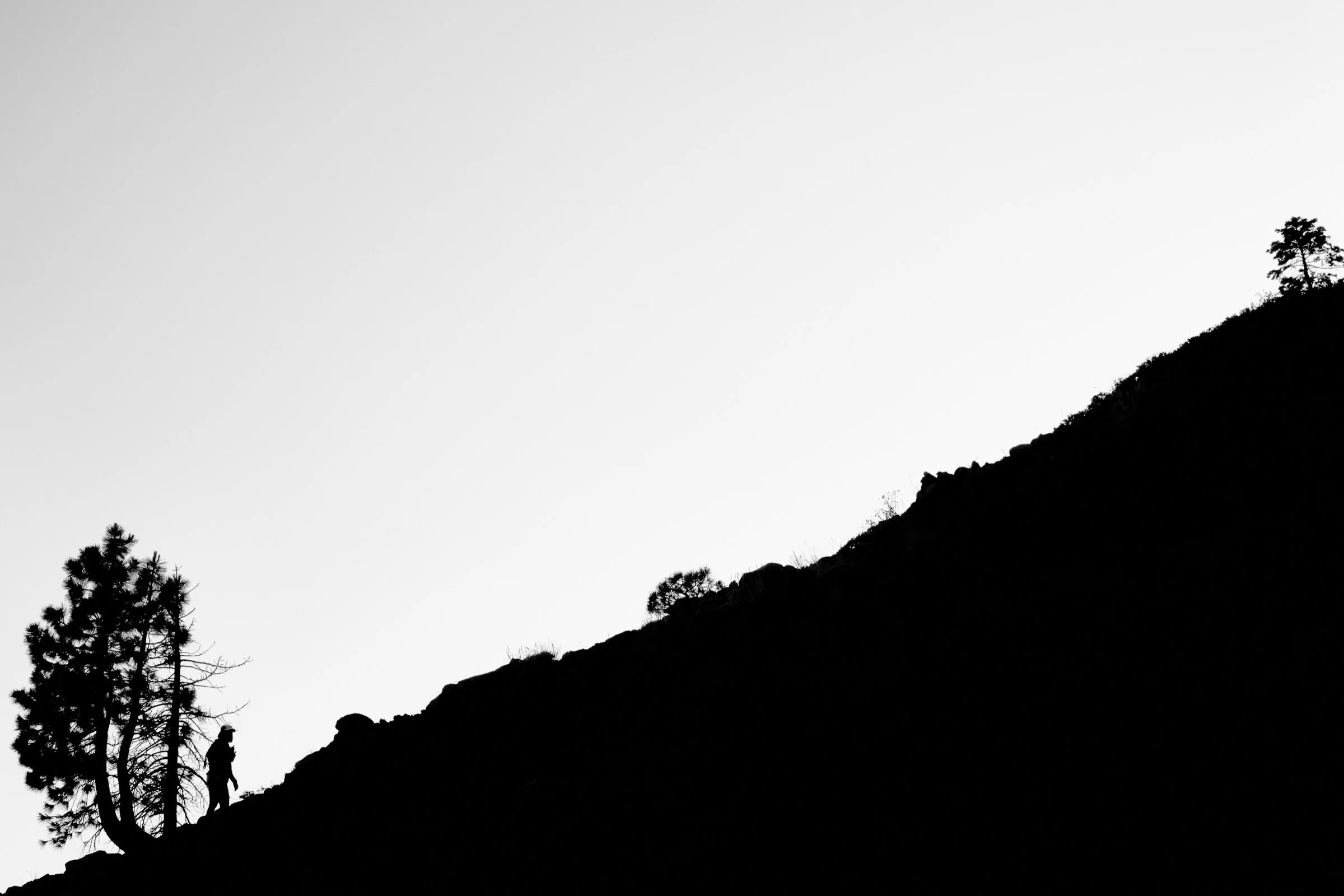
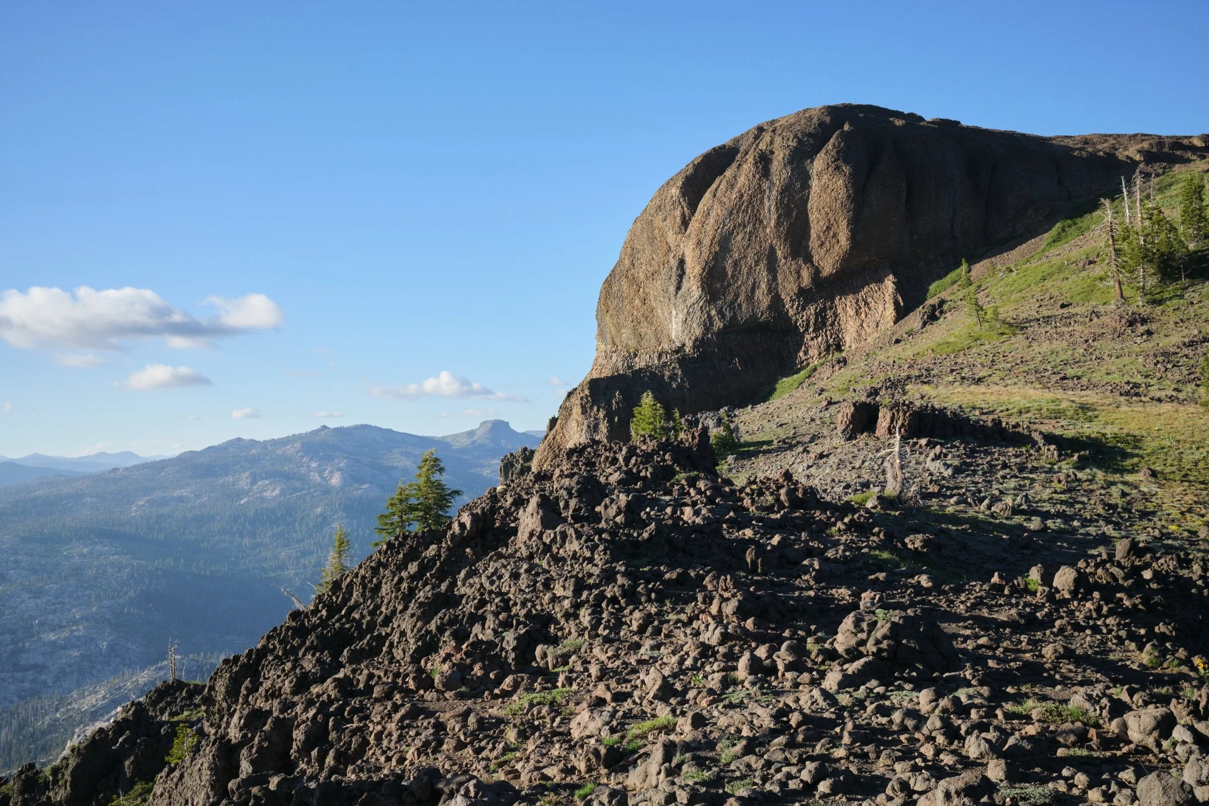
The off-trail portion of the trail was physically difficult as it gained more than 1000 ft of elevation in a mile. The first half mile was a thick forest where we walked loudly crunching on dried branches. The second half was entirely tree-free and we had a clear view to the volcanic rocks that loomed above us. We were only able to see the couloir that we went up in the last quarter mile. This portion was steep and we gained more than 1k ft in a mile of hiking. And not just that, there were a few sections where it was sandy; sandy plus steep equals very slippery.
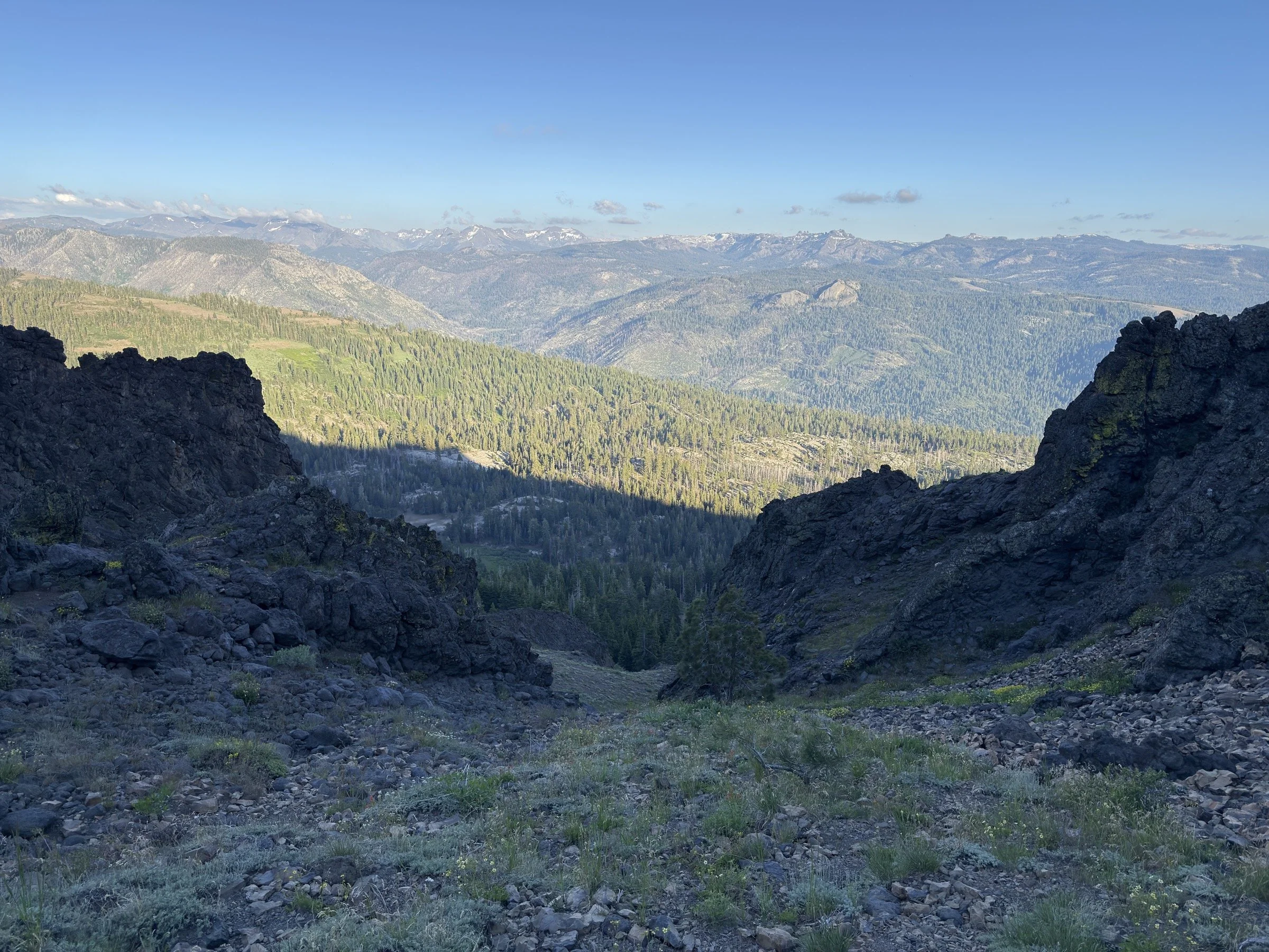
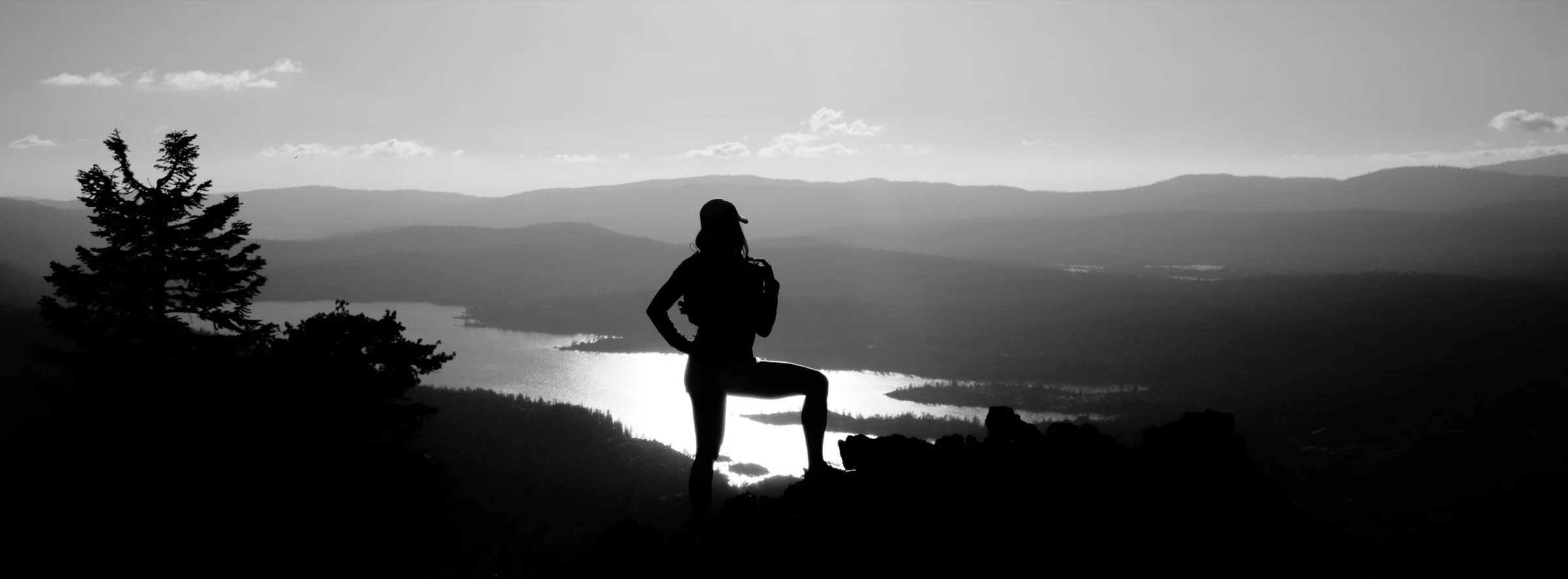
The views were amazing the whole way through—lots of different types of beauty everywhere one could look.
The parking lot was larger than expected and it was easy to find a spot. The dirt road to the parking lot was pretty easy too, except for a couple of stretches where I had to think about wheel placement. But then again, at the parking lot, it was all passenger cars, so I think just about any car could make it up.
We did not see anyone else on the trail. We did hear gunshots to our west and it seemed like people were target shooting, as it was less than a dozen shots fired in less than a minute.
What I Learned
I don’t go off-trail much (I can’t remember the last time I did), so it was fun exploring what that was like with Cassie. The fun of it is the engagement with the surroundings as I constantly had to route-find and try to put us on paths that got us to the objective most efficiently. While the freedom to carve a path with any style one wished was cool, our plodding pace (due to uncertainty at the best path possible) wasn’t as fun. Maybe it’ll be more fun as I get better at it, but I’m not sure literal bushwhacking will ever be classified as fun for me.
Because I had forgotten to pack headlamps, we had to turn back early. This meant that we did not get to summit, even though we were less than a quarter-mile away and less than 200 ft ascent from the top. As a lesson learned, I ordered two headlamps and they will now live in our hiking packs so that this does not happen in the future.
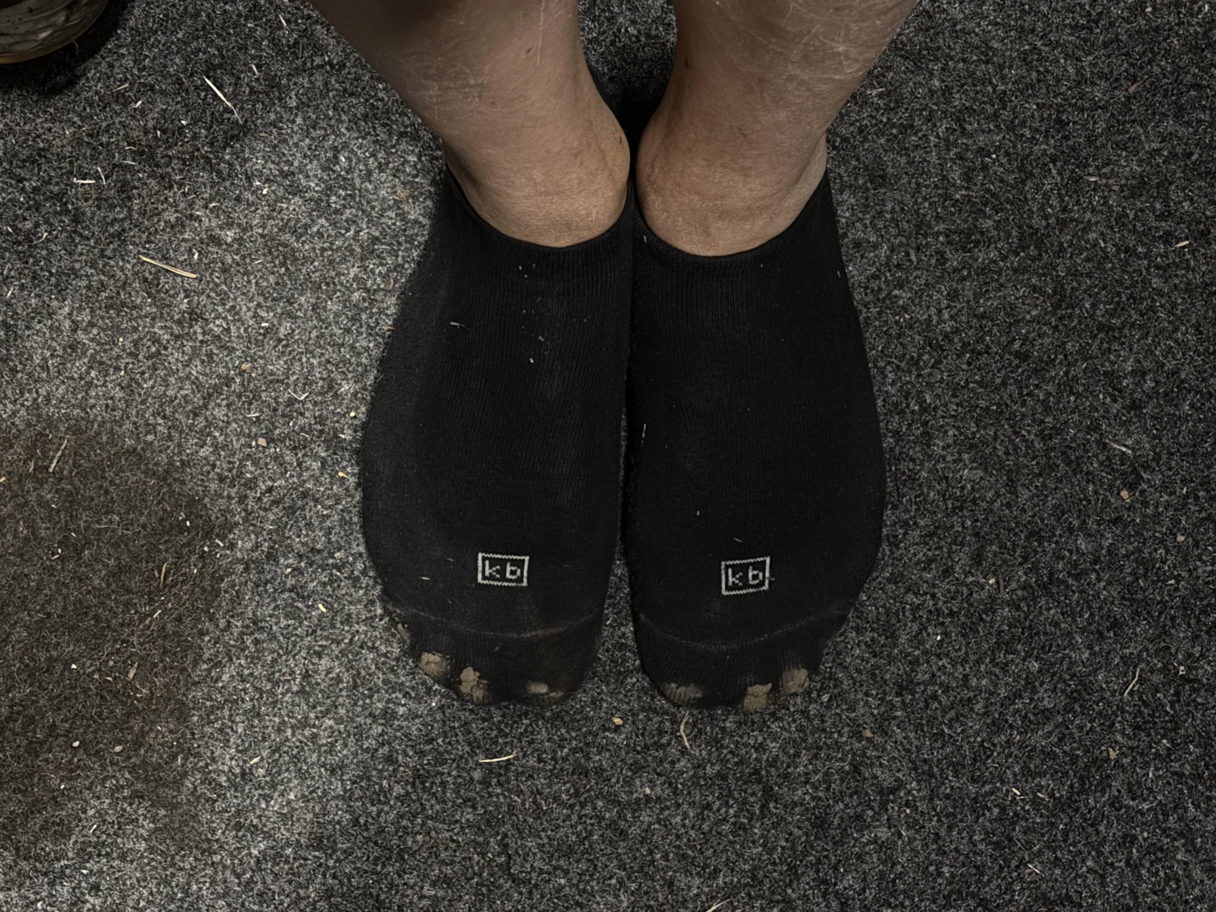
Cassie’s trail runners are so porous on the top that she had a ton of sand enter her shoes. She is planning on buying new trail runners that are a bit less porous on the top.
We knew this already, but this hike really drove it home. Cassie is just so much faster than me than going uphill and I am just so much faster than Cassie when going downhill. It just means we wait for each other a lot, but it’s kind of nice that both of us don’t think much of it and are happy to wait for the other.
What Happened?
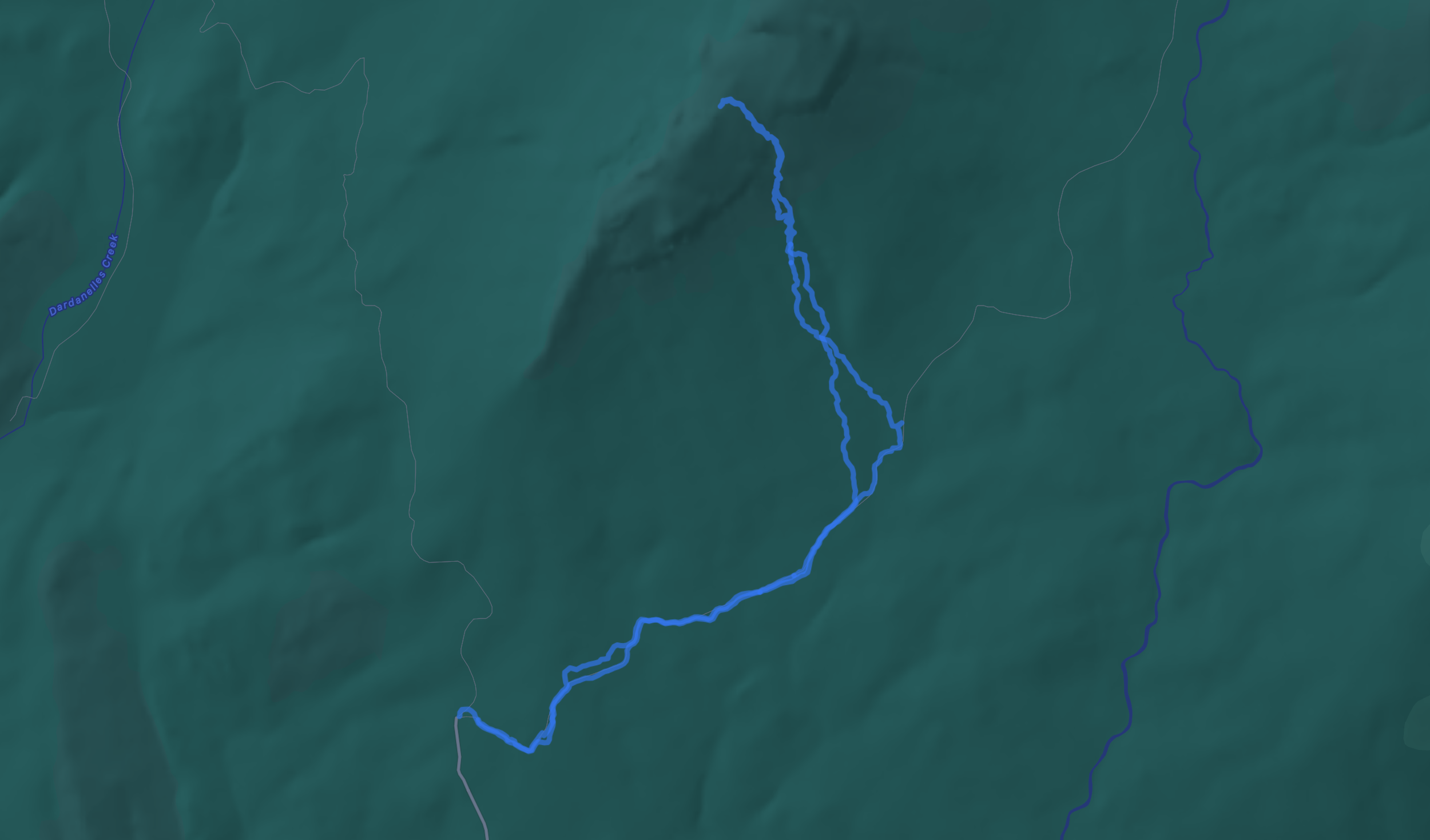
4.5 miles, 3 hrs 1 min, 1628 ft of ascent
I saw pictures of the Dardanelle Range a week or two ago, and found a track on peakbagger.com that was easy enough for Cassie to feel comfortable with as she’s working back from a long-term overuse injury. We drove up from the bay that morning and when we got to the trailhead, it was already almost 5 p.m.
The hike was a little confusing at first, as I lost sight of the trail as it seemed to lead directly into overgrown bushes. But I picked up the trail again, thanks to the GPX track that I had downloaded. The trail was beautiful with green trees, lots of shade, and beautiful birdsong. About a mile into it, we loosely followed the track off-trail and headed directly up to Dardanelle West.
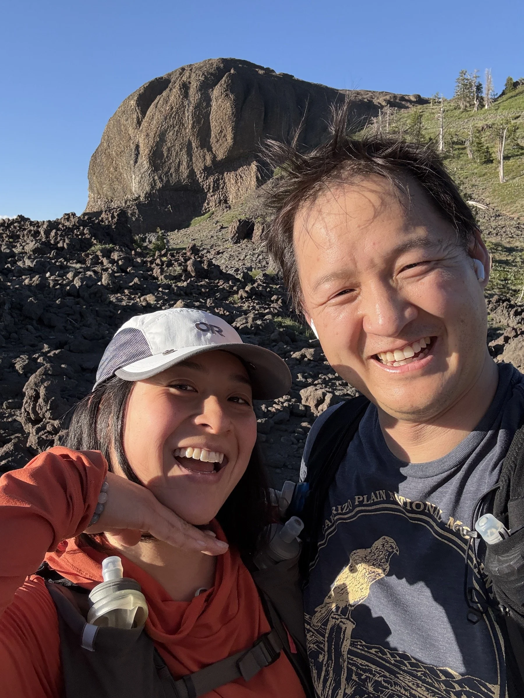
At first, we were surrounded by a ton of trees and we couldn’t see the mountain, even though we were only a mile away. But another half mile in, we broke out from the tree cover and saw the volcanic rocks at the top of the mountain. Until this point, the route was easy to follow as the forest portion just had lots of fallen trees and branches to walk around, which wasn’t too bad. But starting here, we kept running into knee-high bushes that we had to either go through (if there was a game trail to follow) or go around, causing us to take a lot longer than if there was an existing trail to follow.
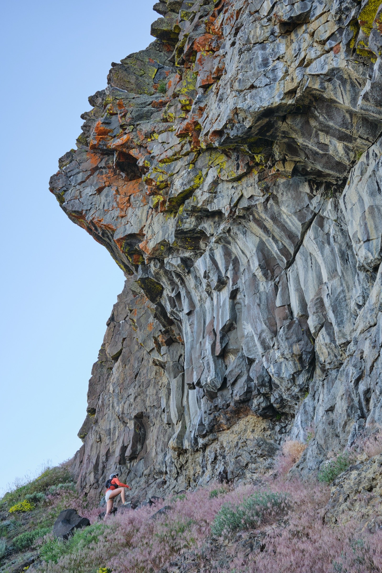
But we slowly made it through the bushes and got to the first of the rock outcroppings, which we walked around. This was around the steepest part of the hike and I went slow as it was tiring. Cassie did great and she seemed to be unfazed by the elevation or the elevation gain. There were a few spots of class 2 hiking, but we got through it slow and steady.
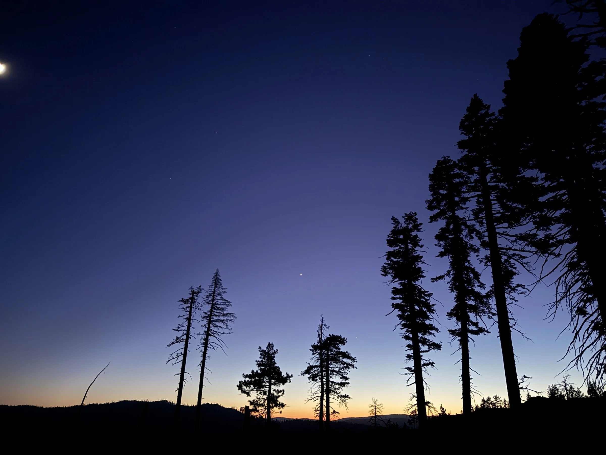
When we got to the shoulder of Dardanelle West, my timer that I had set for turn-around time had rung and we enjoyed just a few minutes in the sun before heading back down. Cassie was much slower in this part, but she did great in going slow and not losing her balance. I fell once, but didn’t injure myself, thankfully. I did get bitten by a few mosquitos when I would stand still to wait for Cassie, but it wasn’t too bad as they only struck right at sunset and soon disappeared when we headed from the bushy part of the trail to the safety of the trees.
By the time we got back on the trail, it was pretty dark, but we knew we only had a mile left. The rest of the hike went pretty fast, and we got back to our truck before we needed to take out our phones to light the way.
When we drove off to find out a campsite for the night, we were pretty hungry and tired from the hike. And the ramen that we had was so yummy, especially with the extra veggies we put in. And after a tiring hike, we went to bed tired and slept like logs until the next morning.