Stevens Creek
Hike Review
I hiked a good length of Stevens Creek by hiking a loop starting from the Skyline Ridge Parking Lot via Skid Road Trail, Canyon Trail, Grizzy Flat Trail, Peters Creek Trail, Chestnut Trail, Tree Farm Trail, and Sunny Jim Trail.
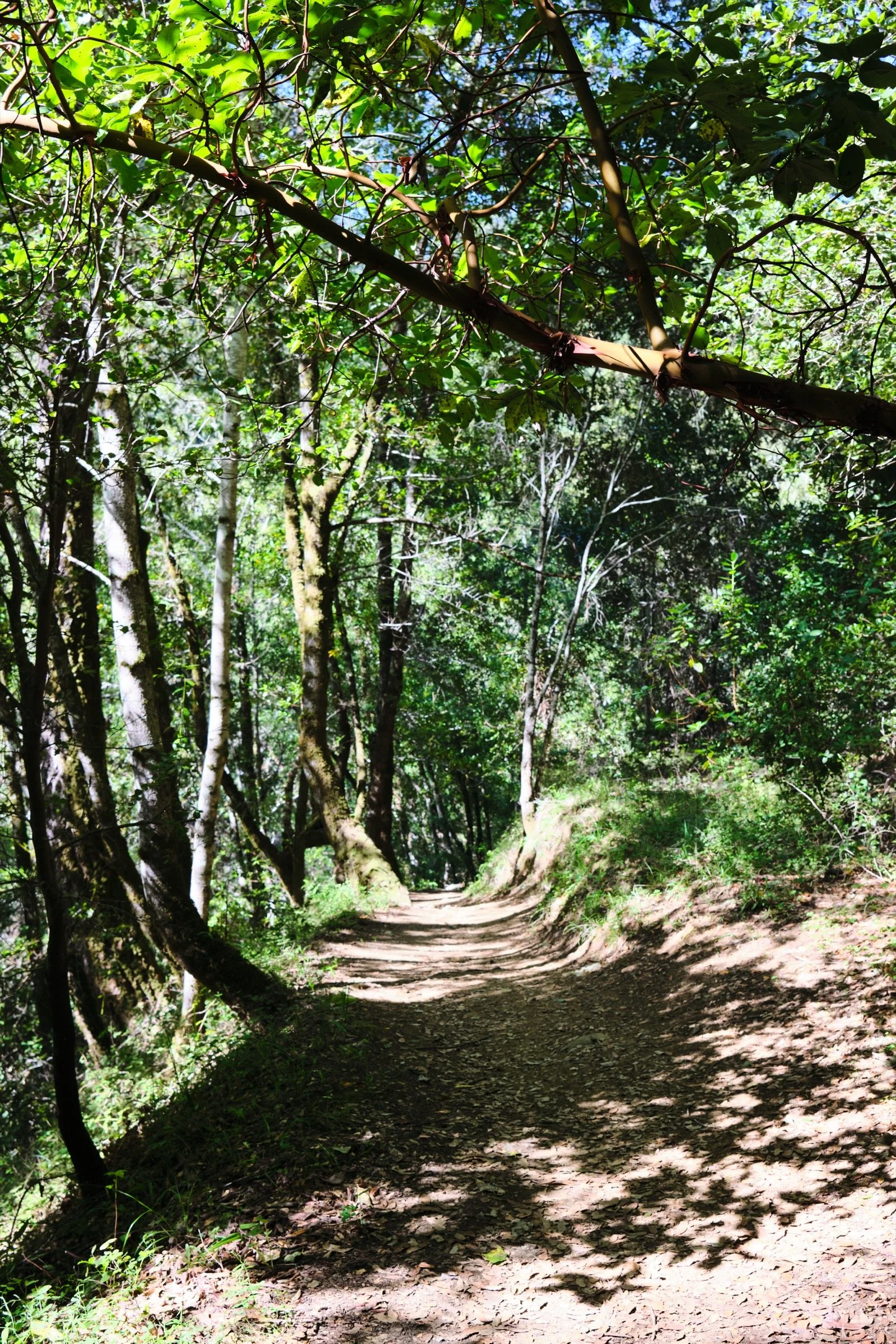
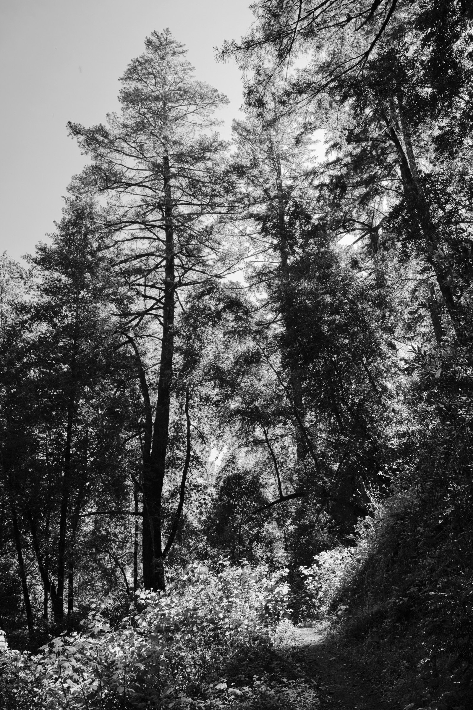
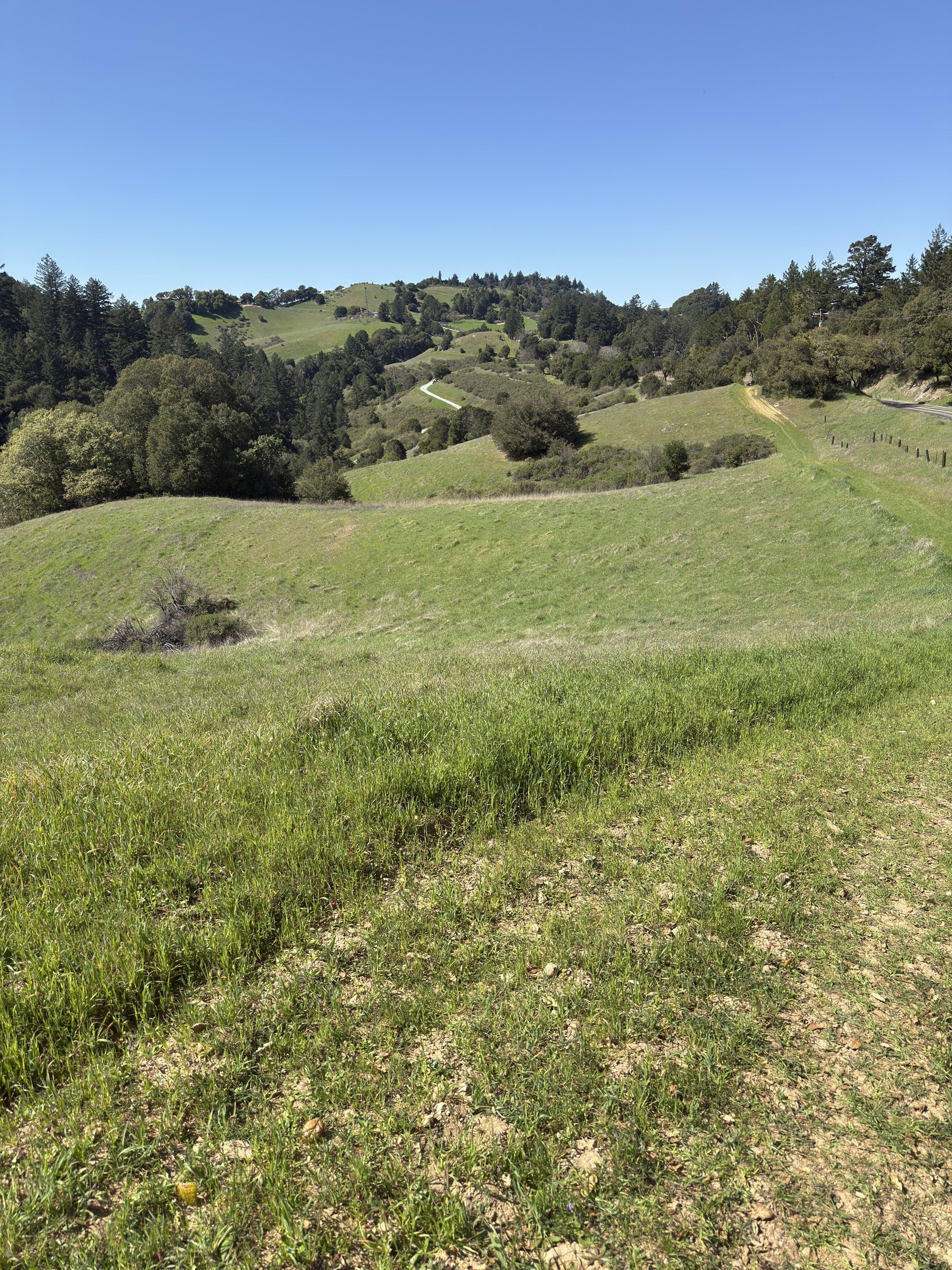
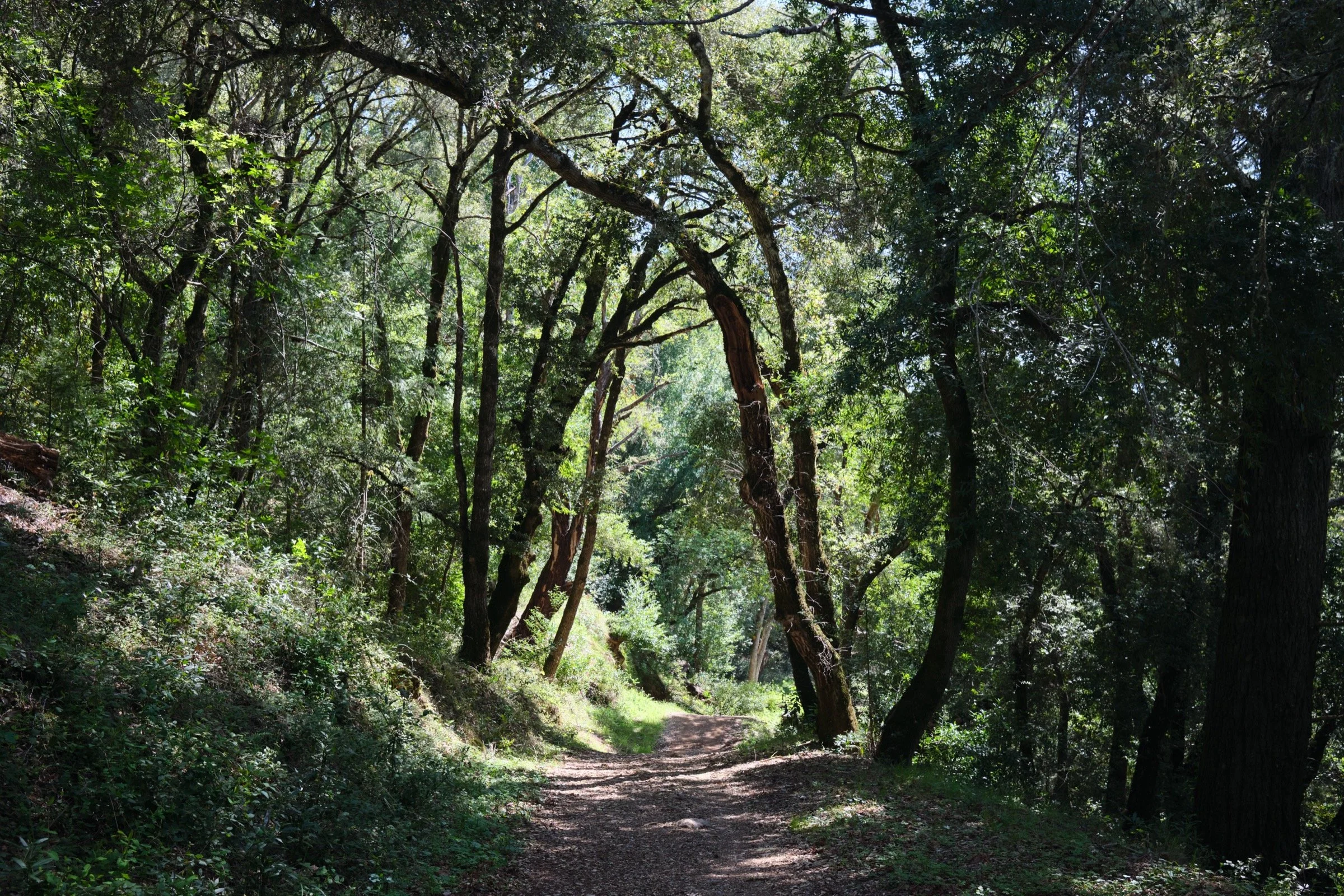
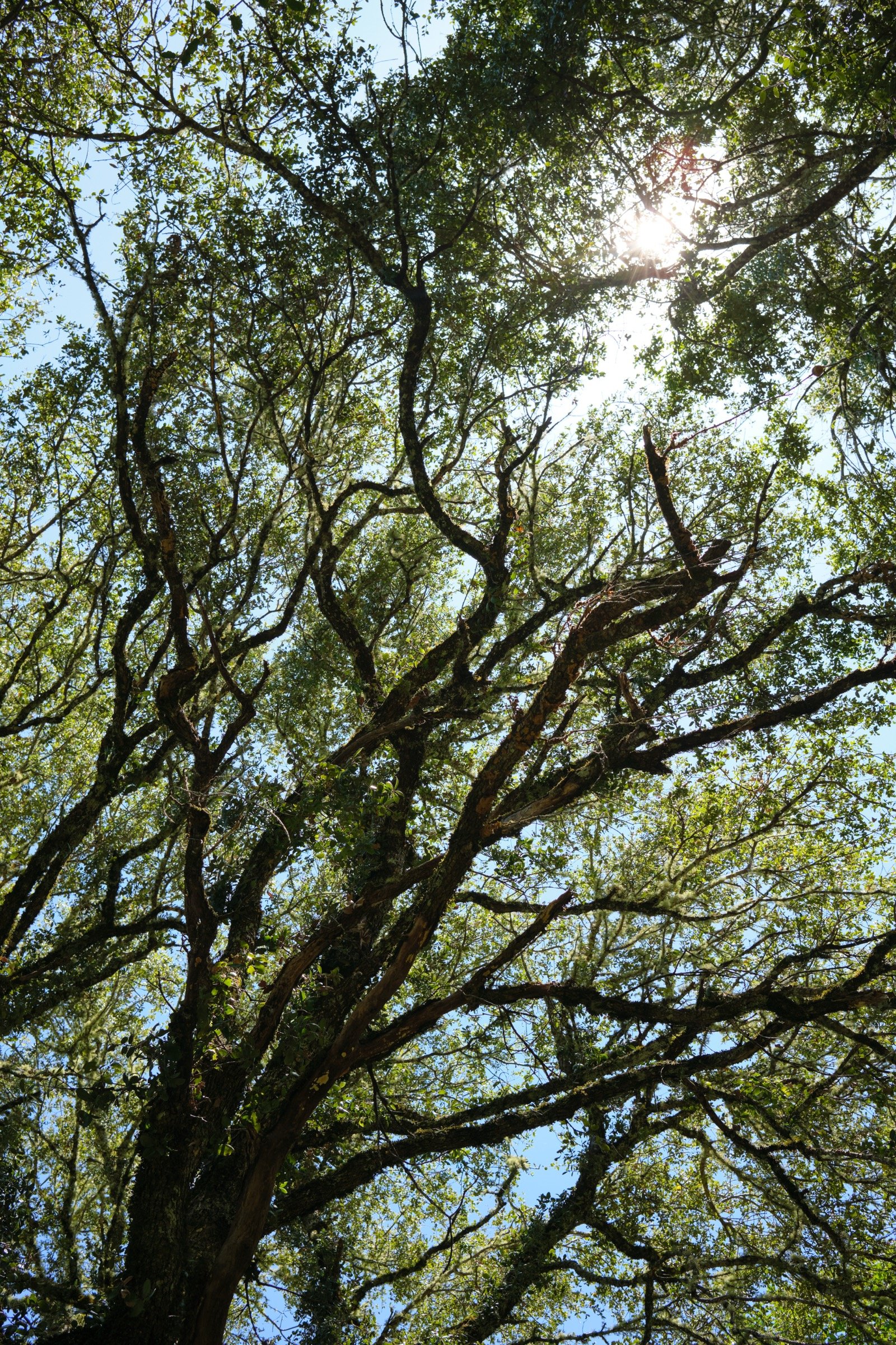
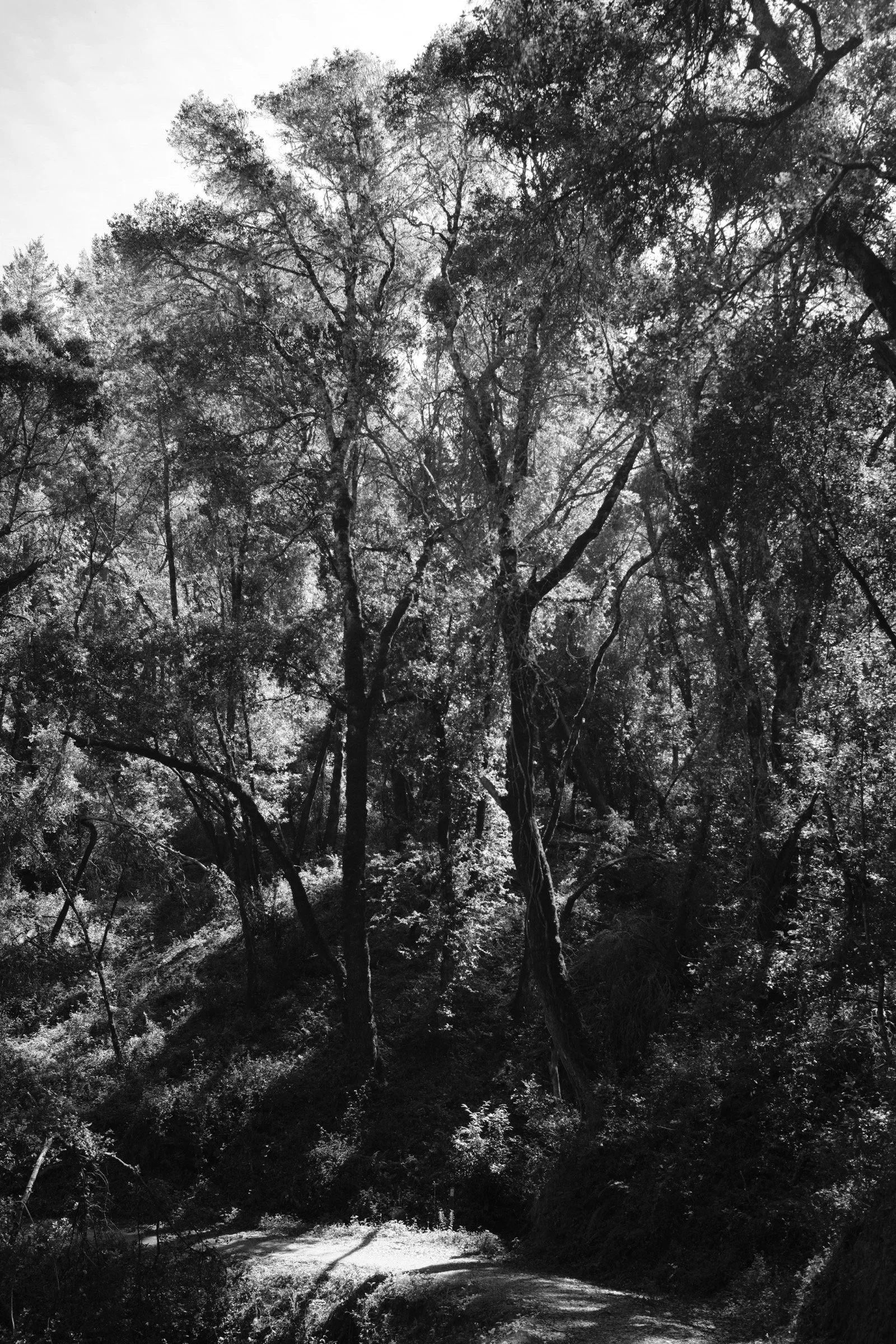
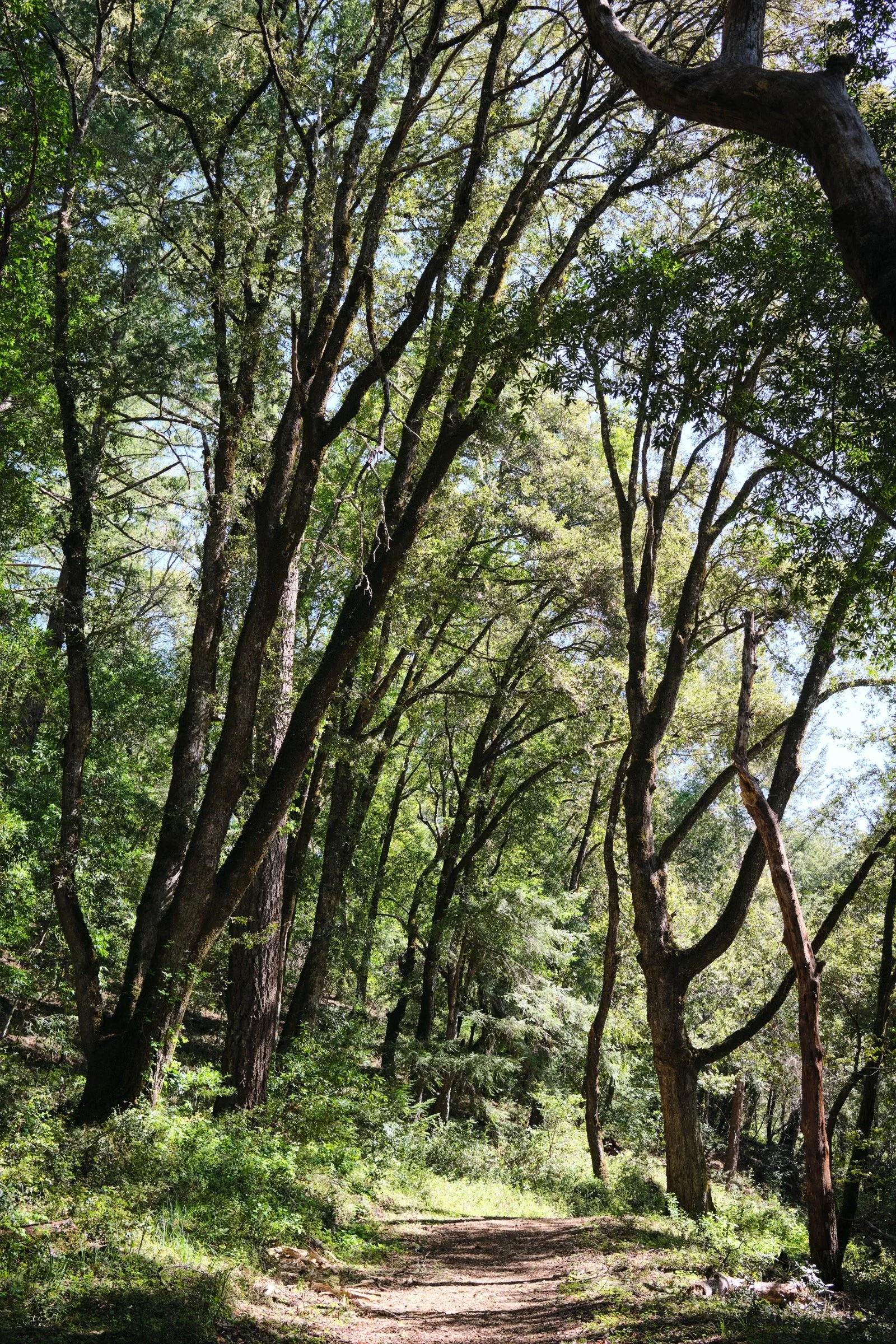
The weather was a bit warm, but the loop was so well shaded (70-80%?), that I barely felt the heat. A good thing too, since allergens were abundant and too much heat would have lowered my allergen defenses.
The Chestnut Trail was a single-track trail, but the rest were the double-track variety. However, because there were so many fallen and broken branches on the trails, the double tracks seemed cozier than usual.
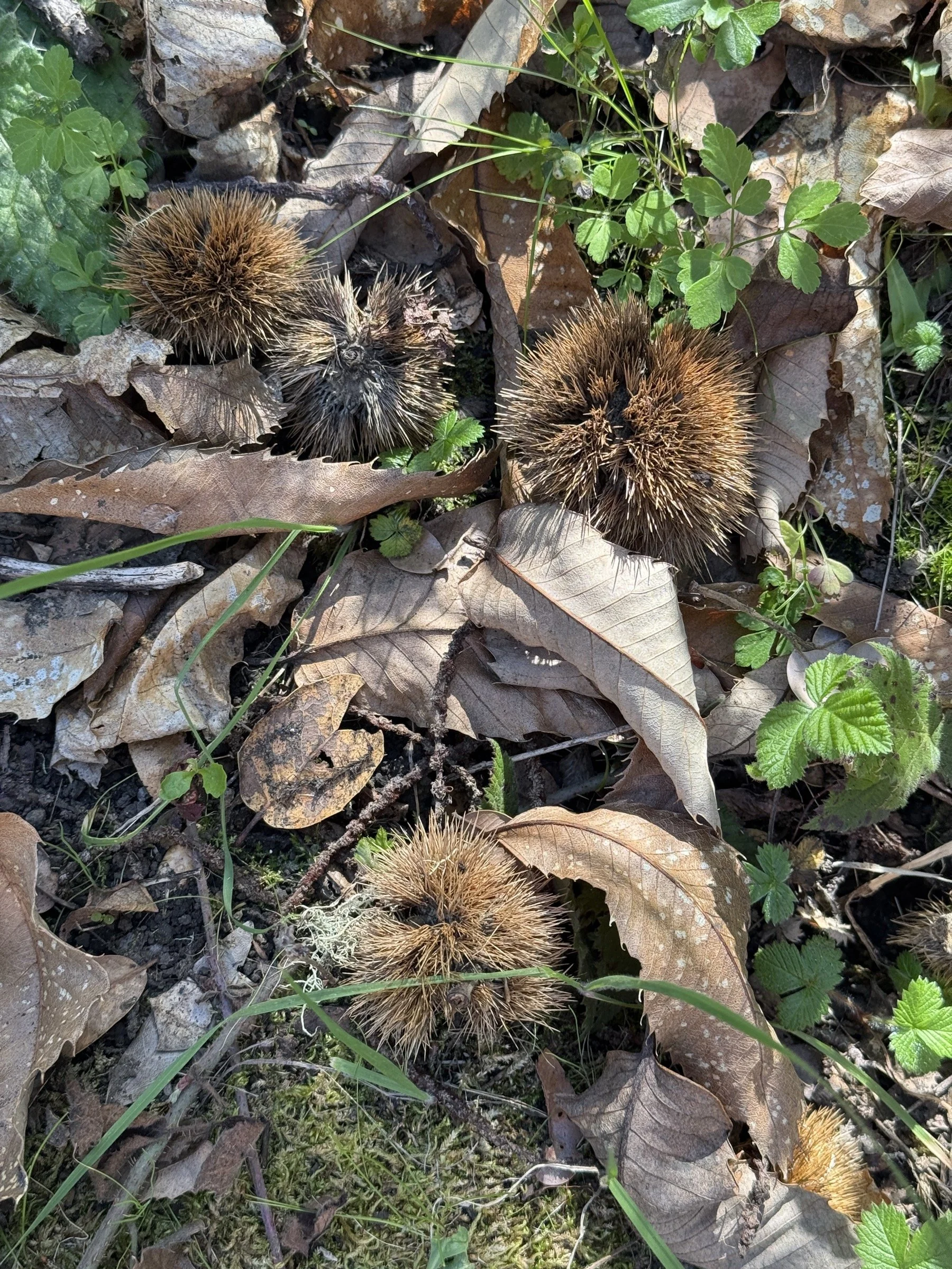
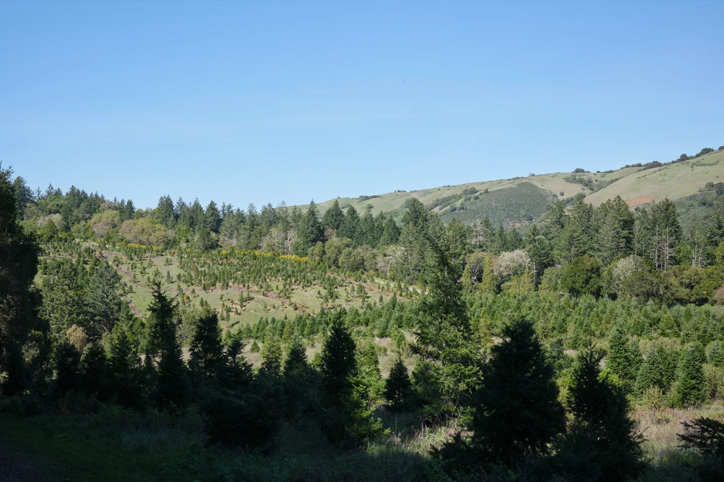
The trails along Skyline Blvd went through businesses which I am not accustomed to. They are the appropriate variety, however. There was a chestnut farm near the Chestnut Trail and a Christmas tree farm near the Tree Farm Trail.
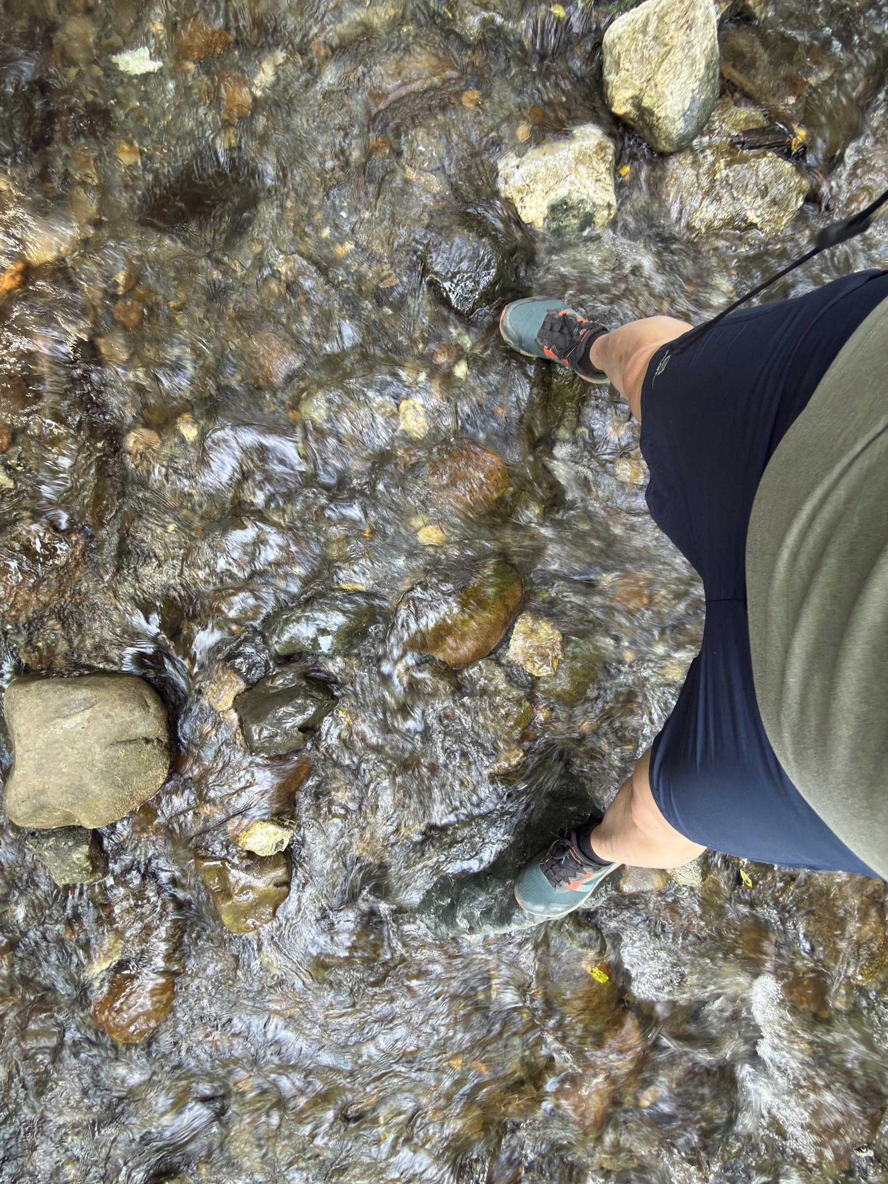
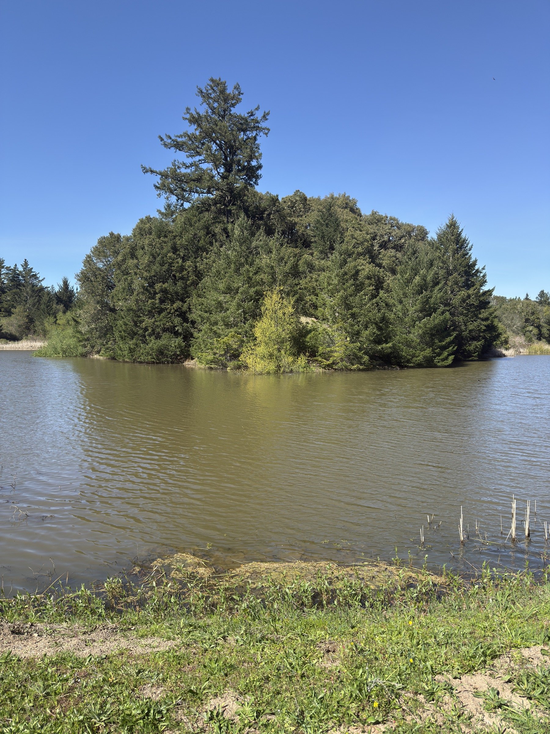
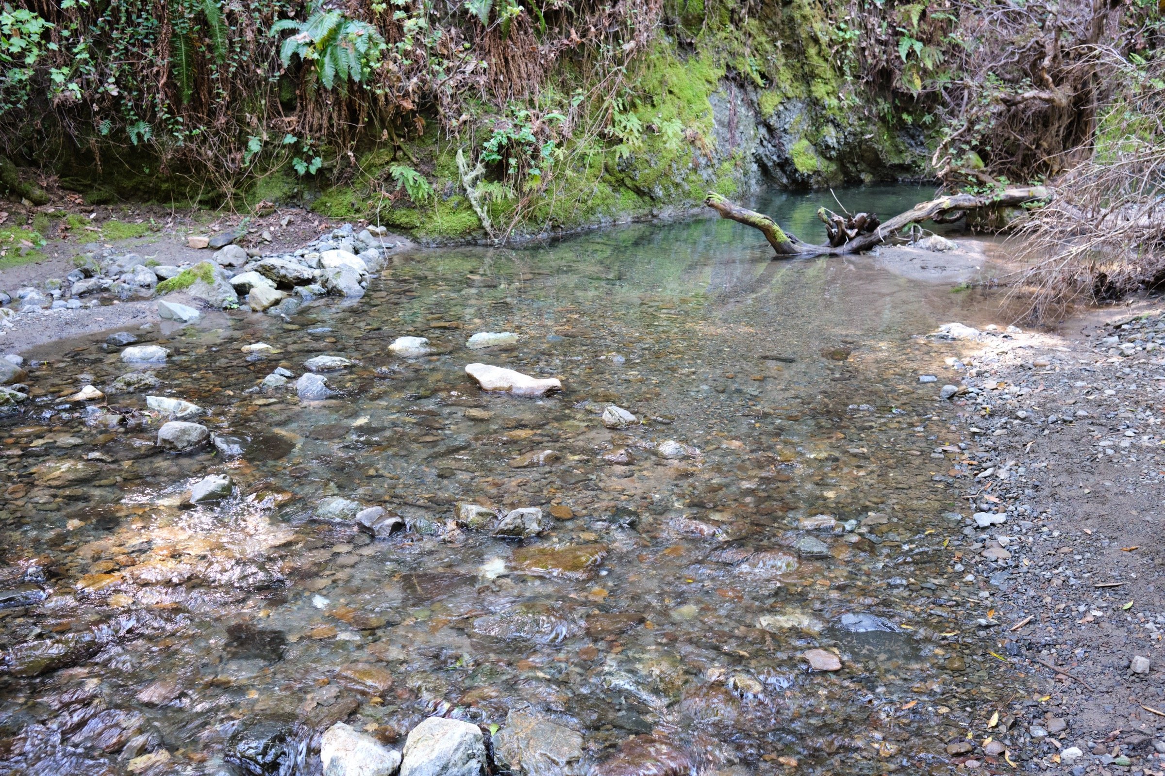
All the creeks were flowing, which I’m sure added to the cooling effect. However, it also meant that there were lots of mosquitoes and other insects. Crossing Stevens Creek was the most challenging bit of the hike, but I’m pretty well balanced with long legs, so it wasn’t so hard for me.
There were not too many people I ran into, even though the weather was nice; less than a dozen even though I had hiked for 3.5 hrs.
The parking lot at Skyline Ridge had a ton of parking spaces and a restroom.
What I Learned
I was so lucky that there was so much elevation gain on the north-facing slope, where it was much cooler due to the dense growth of trees (due to there being more moisture compared to the south-facing side). There was a bit of wind too, which further cooled me down.
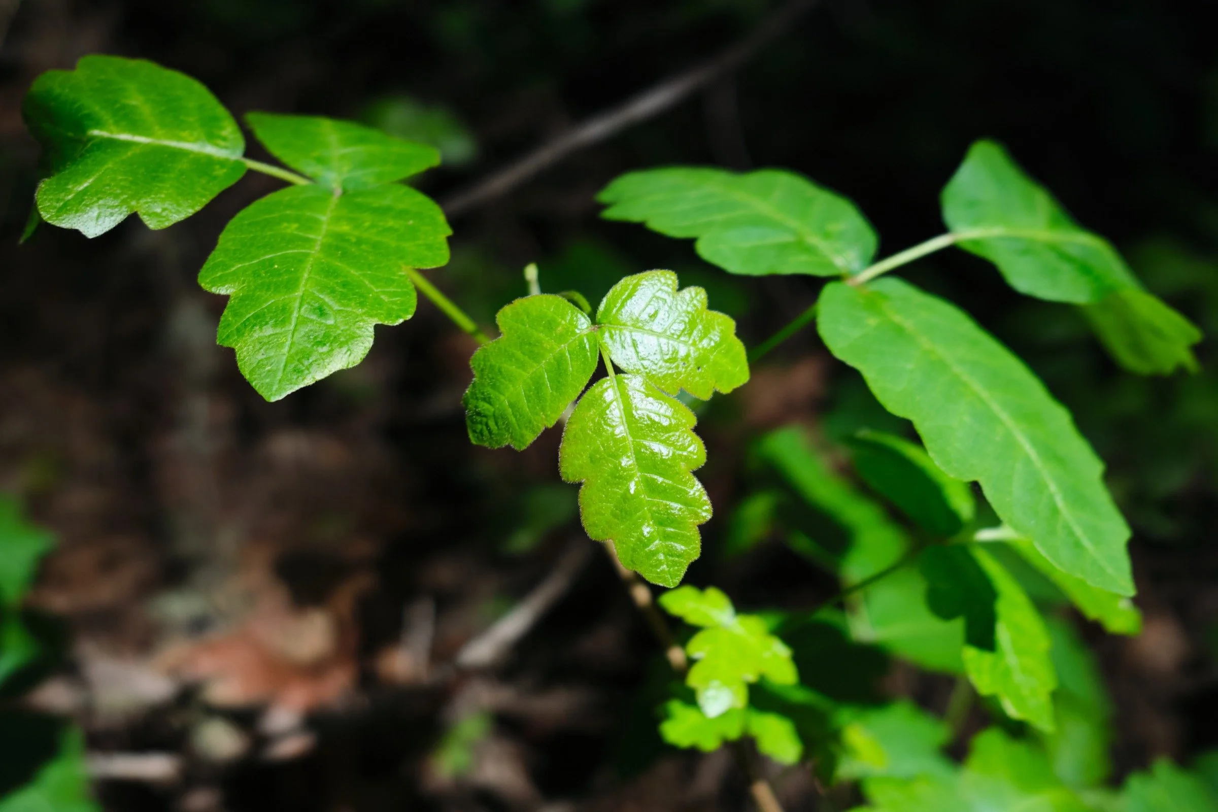
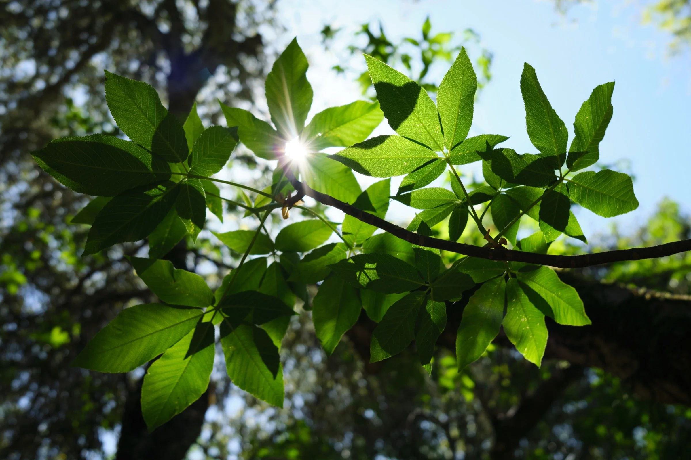
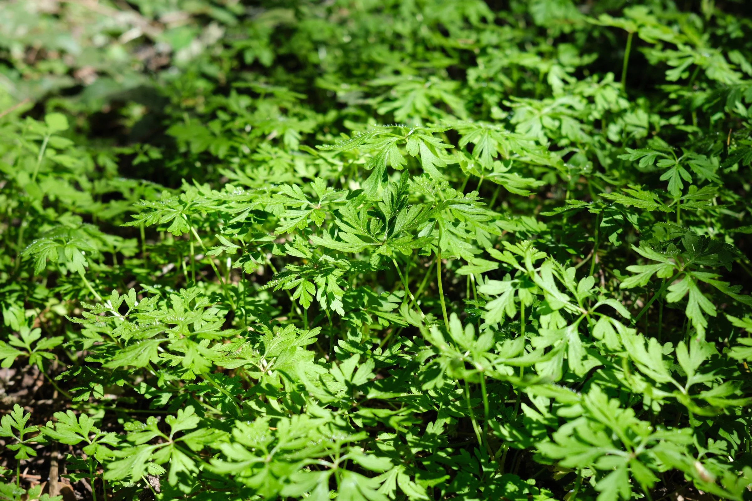
On the hike, there was so much variety in trees from smaller redwoods, oak, Douglas-fir, bay, beech, and other trees—it reminded me of the beauty of such a diverse forest. Just like how beautiful and diverse the population of the Bay Area is.
Media Consumed
Daughters of the Bamboo Grove by Barbara Demick—done!
Outlander by Diana Gabaldon
What Happened?
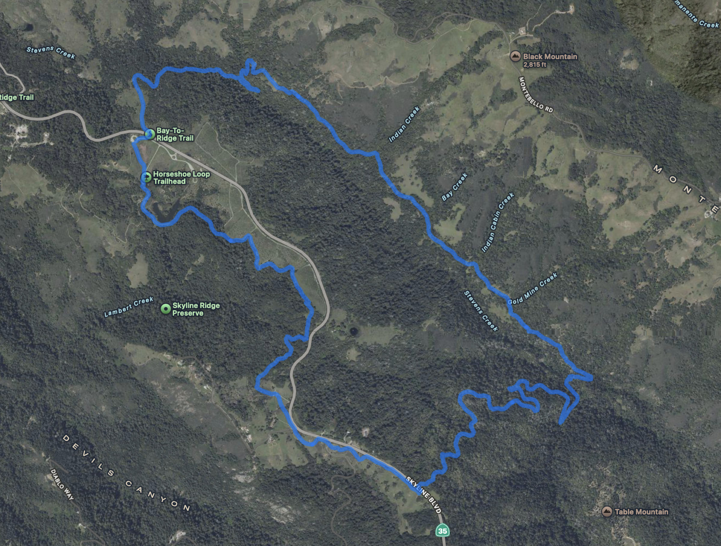
8.9 miles, 3 hrs 33 mins, 1848 ft of ascent
A few years ago, I was learning about glaciers and how they slowly create U-shaped valleys as the massive block of ice erodes the ground beneath it. I then learned that valleys which are formed by creeks and rivers are of a sharper V-shape. Looking around the map around me, I spotted Stevens Creek and the relatively long (5-6 miles?) valley it must have created over thousands of years. I had biked along the lower part of the creek that meanders along Highway 85 before reaching the San Francisco Bay, but I had not explored the upper part of the creek which flows into the Steves Creek Reservoir.
With Cassie recovering from a cold, I thought it was about time I finally explored Stevens Creek, so I parked at the Skyline Ridge Parking Lot and hiked the almost 9-mile loop. I had initially thought about hiking a bit further by visiting Table Mountain, but changed my mind at the last minute as although the trees were shielding me from the warm weather, I thought hiking along the relatively less-shady trails near Highway 35 would be rubbish.
The hike itself was nice and the audiobook of Outlander kept me pretty focused on the story at hand. With the trails being relatively easy, I just kept putting one foot in front of the other, and hours passed without much hardship.
When I first imagined this hike, I thought maybe I could see the V-shaped valley stretch out before me, but alas, there was no view of that sort. But it was due to the great number of trees that lent me their shade, which made this hike an enjoyable one. A trade I’m more than willing to make.