Yosemite-Ponoho Trail-Glacier to Dewey Point
Camp Review
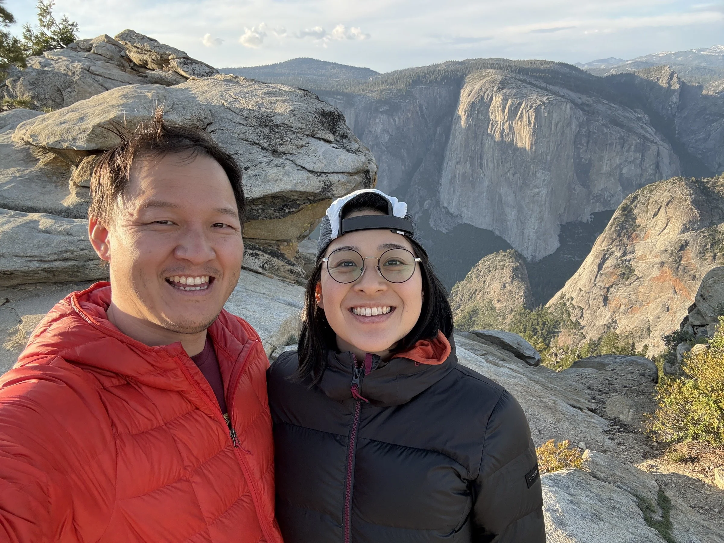
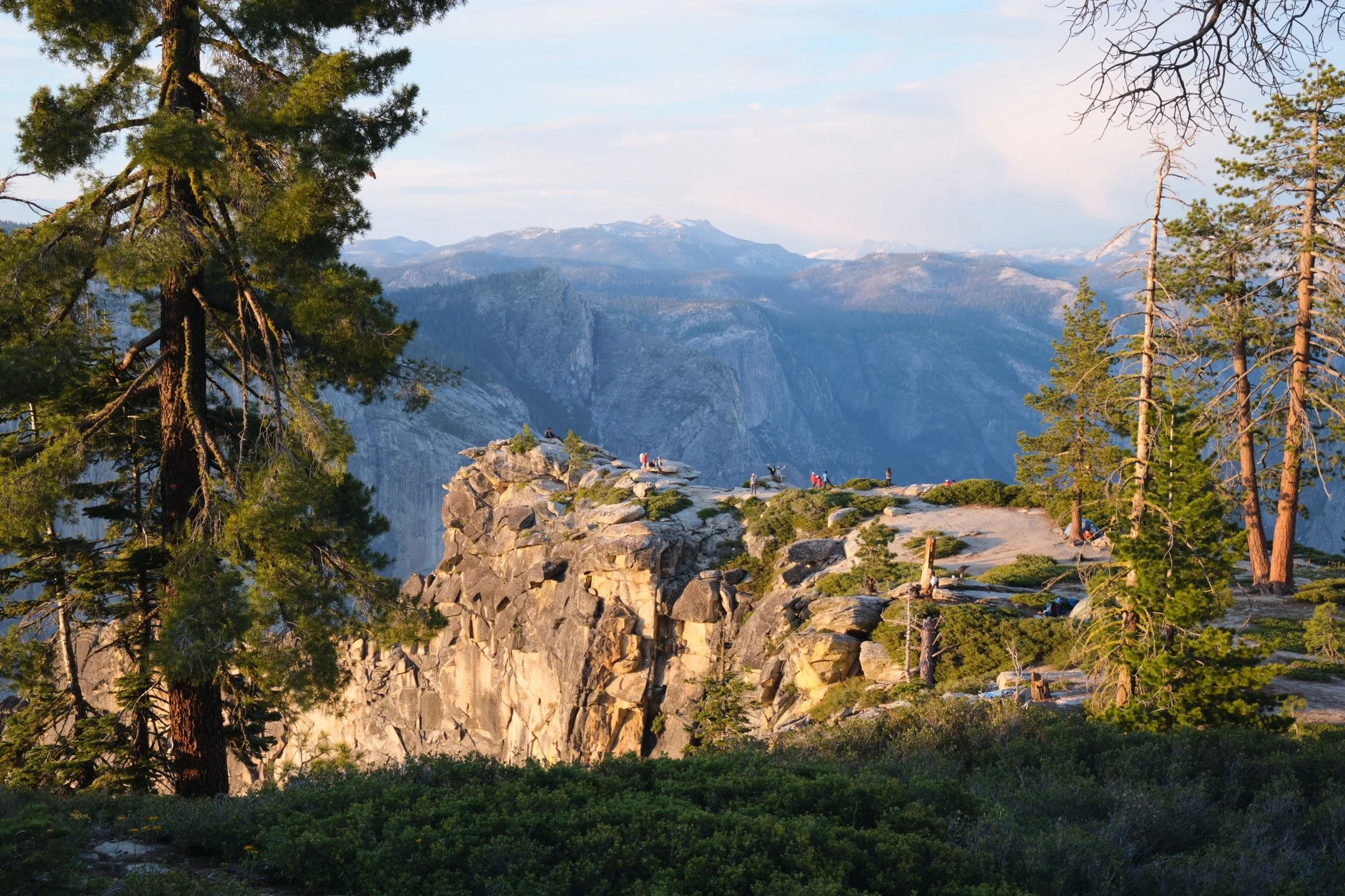
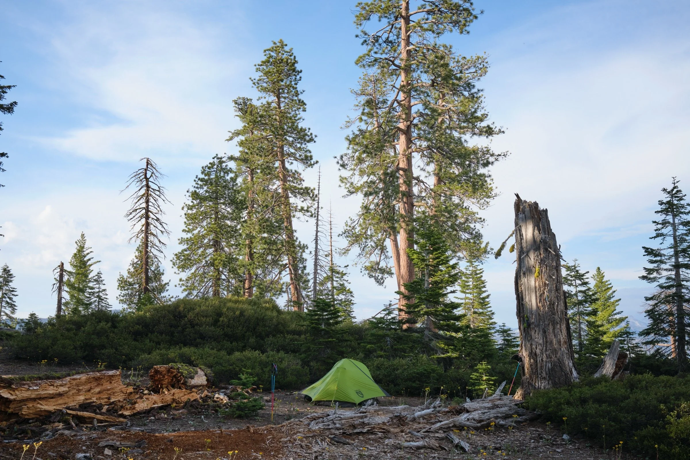
Cassie and I picked a spot a little bit west of Dewey Point as there were quite a few backpackers set up close to Dewey Point. While we missed out on views of the Yosemite Valley, our site was completely free of human sounds and we felt like it was just us, trees, and birds. While this sounded great to us the night before, I was a bit annoyed at how many birds there were in the morning; this was only annoying because I was woken by birdsong at 5 in the morning. They sounded just great later in the morning.
The site we chose seemed like hard-packed dirt, and I was a little worried about hammering and bending the tent stakes. However, I was surprised that the dirt was loosely packed, and it was easy to set the tent stakes.
The bushes and the trees that surrounded us kept us warm and protected us from the winds.
There was a fire ring that clearly had been lit recently. There was a no-campfire policy for the busy weekend, so we did not light a fire. There were other campers, however, who did not follow the rule clearly stated by the rangers to all backpackers.
Our “kitchen” was a flat stone next to the fire ring, and that’s where we also ate our meals. We then stored our bear canister another 30-40 yards away from the kitchen.
There is no water at Dewey Point, so we carried all the water from about a mile south of Dewey Point. We brought about 5 liters of water and it turned out to be the perfect amount for us for the night and morning.
Hike Review
Cassie and I backpacked from Glacier Point to Dewey Point mostly on the Ponoho Trail for a one-night backpacking trip.
On the first day, we hiked from Glacier Point on the Ponoho Trail the whole time, except for a small deviation to stay closer to the valley to get to Roosevelt Point. On the second day, we hiked from Dewey Point on the Ponoho Trail, except after Taft Point, we took the Sentinel Dome Trail so that we could hike up Sentinel Dome.
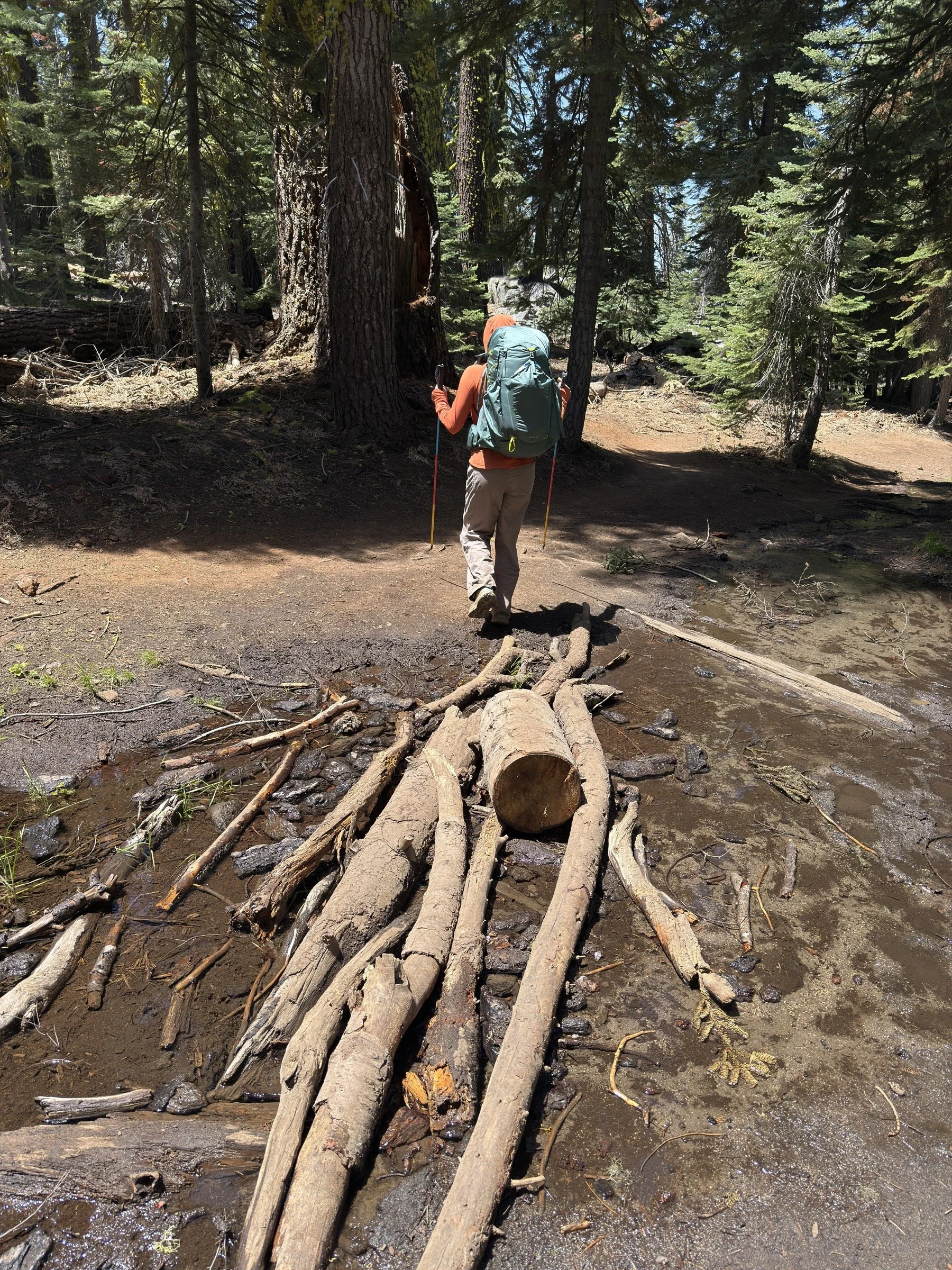
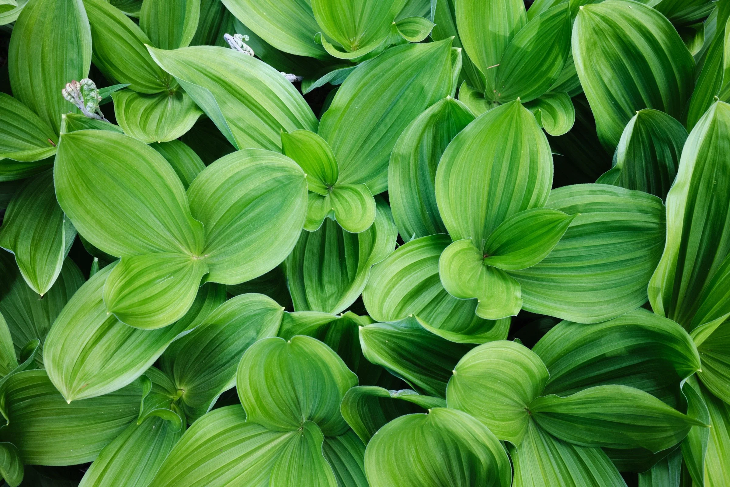
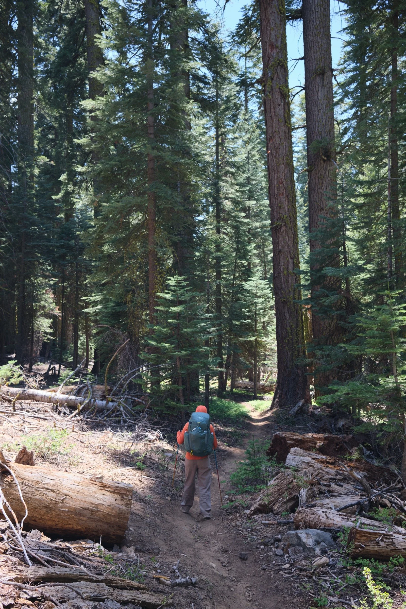
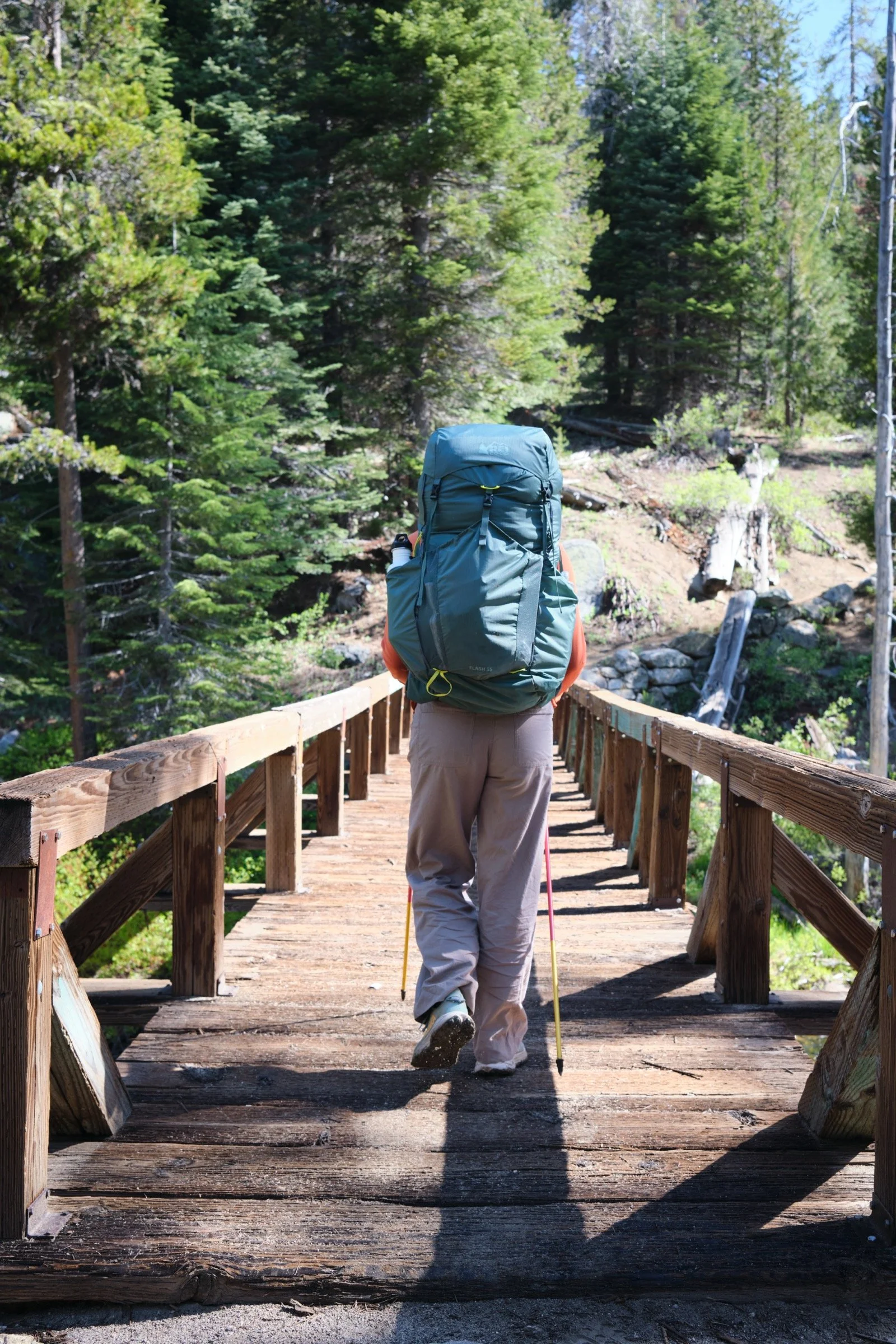
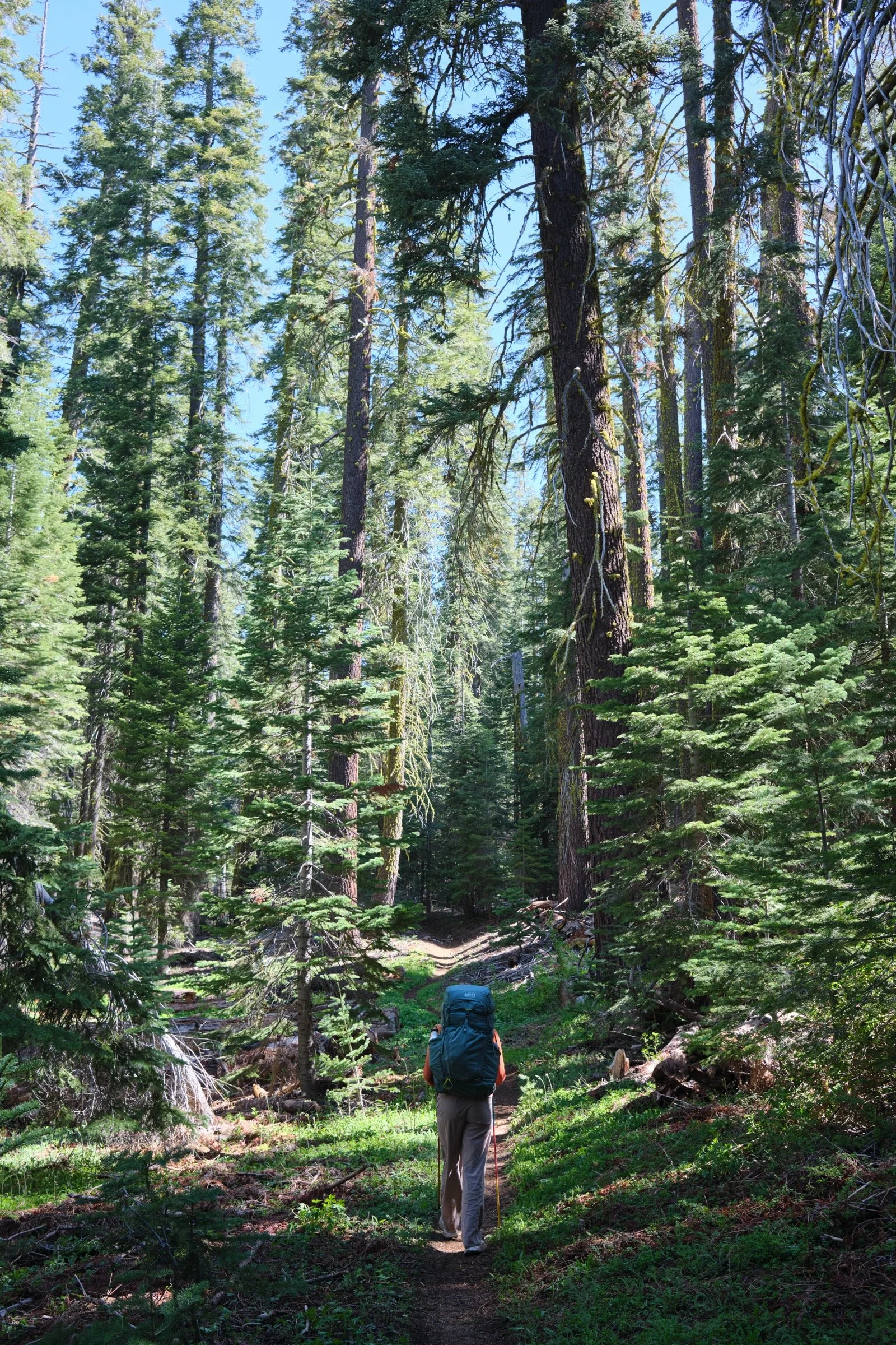
All the trails were single-track trails (except for a small stretch between Taft Point and Sentinel Dome Trailhead) among trees and crossing streams. There were a couple of spots where the ground was muddy, but those were easily overcome with tree trunks and branches already laid down on top of the mud. There were a couple of meadows that the Ponoho Trail went through and they were rather beautiful to see, as there were so many green plants.
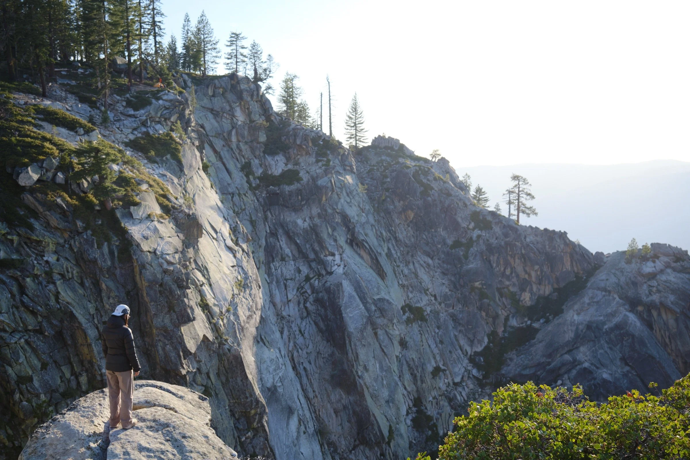
The trails were mostly fully shaded, except for a warm portion near Taft Point, where the trees disappeared and white granite rock surrounded us. The reflected sunlight made me very warm, even though the temperatures were mild.
Parking at Glacier Point was easy, but that was because we arrived before 9 a.m. On the second day, the parking lot was totally full after lunch and there were more than a dozen cars circling the parking lot. The bathrooms were clean enough and we were glad that they were available.
While there were lots of people near the major landmarks, we saw very few faces between them. We were surprised as we knew there would be many souls in Yosemite for the three-day weekend; I guess the Ponoho Trail isn’t as popular as the ones in the Yosemite Valley.
What I Learned
I had worn my one-year-old sneakers that were exactly one year old as I had started wearing it at our wedding weekend. Unfortunately, the soles were worn and there was almost no cushioning, which led to my feet feeling like they were on fire after a few miles. This was not helped by the fact that one of the socks I had on had holes on the ball and heels of the feet. I have learned to better examine the gear I will be using.
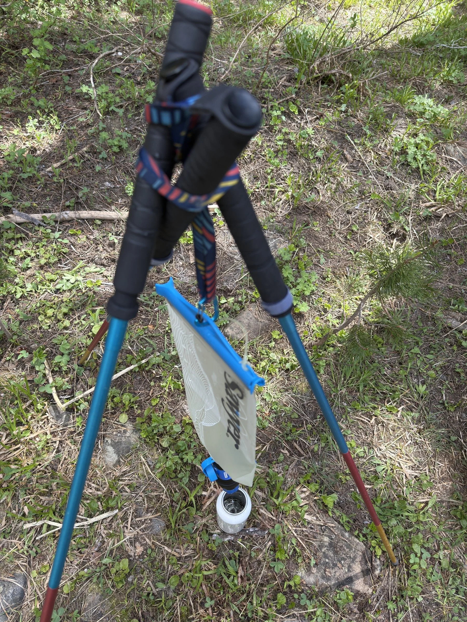
We used a new water filtration system where we use a bladder with a Sawyer Squeeze filter. This was so much easier and better than just using the Sawyer Squeeze by itself. We were able to set up the water filtration system on our hiking poles (in a tripod setup) and wait for the water to filter itself.
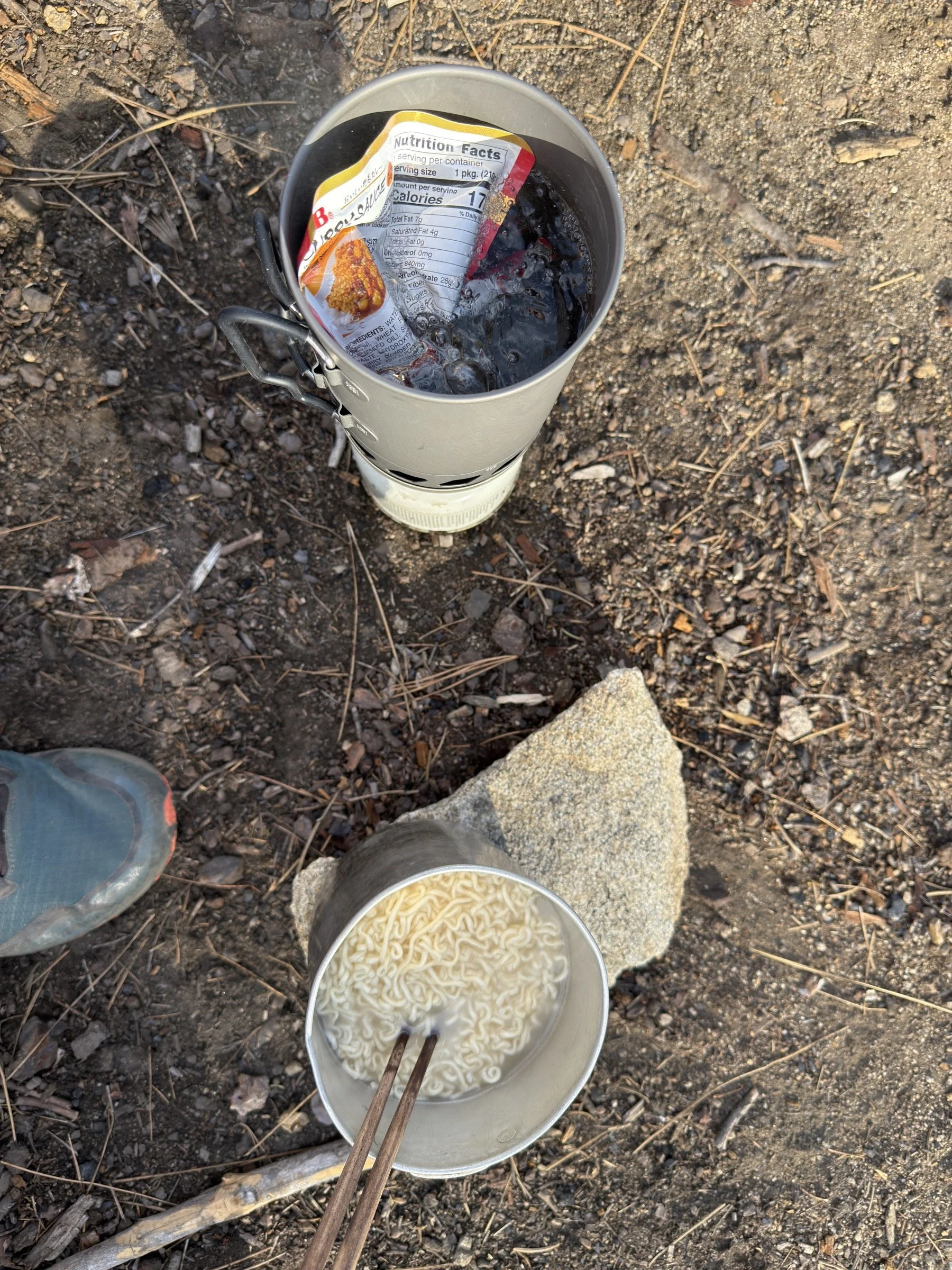
One of the meals we had was heating up a ready-made Japanese curry sauce packet and mixing that with two Maruchan ramen noodles (without the ramen sauce). It was absolutely delicious and one of our favorite trail meals to date!
Both of us were much warmer than we thought we would be during the night. Cassie is planning on bringing fewer layers for the next time we backpack, and I am planning on configuring my sleeping quilt in a way where it lets in more cool air.
What Happened?
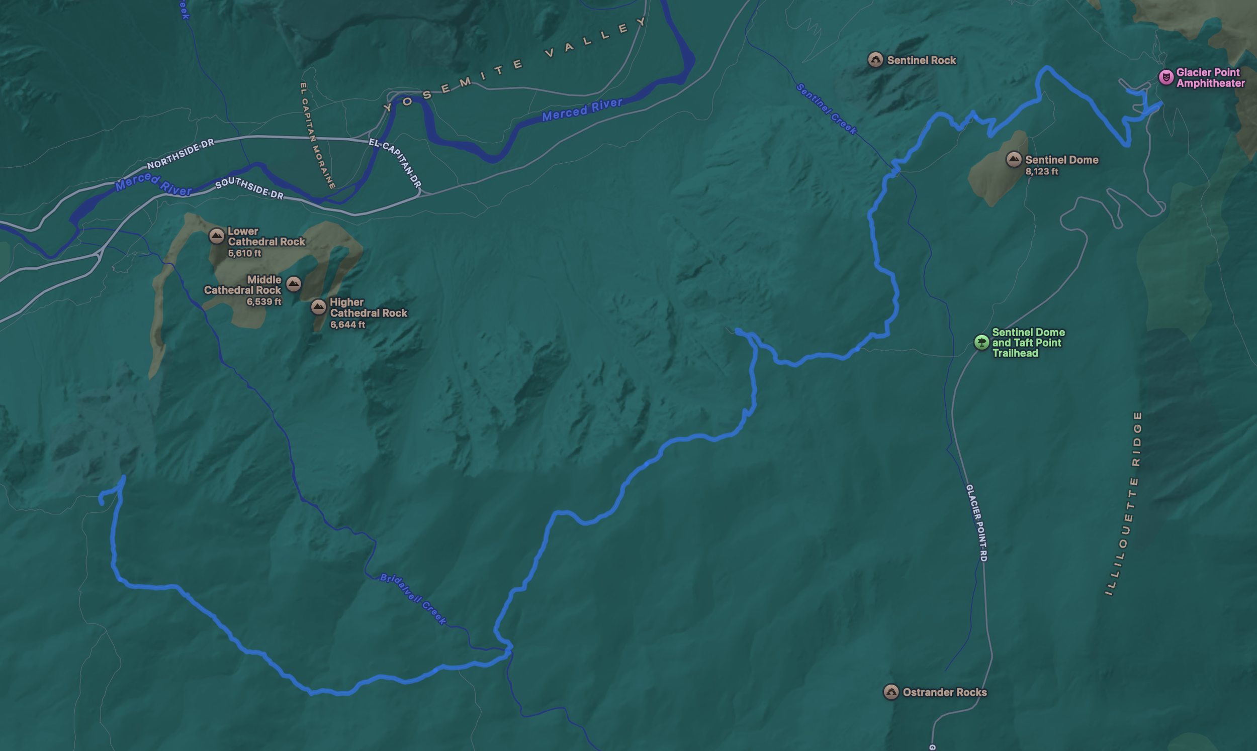
9.5 miles, 7 hrs 30 mins, 1998 ft of ascent
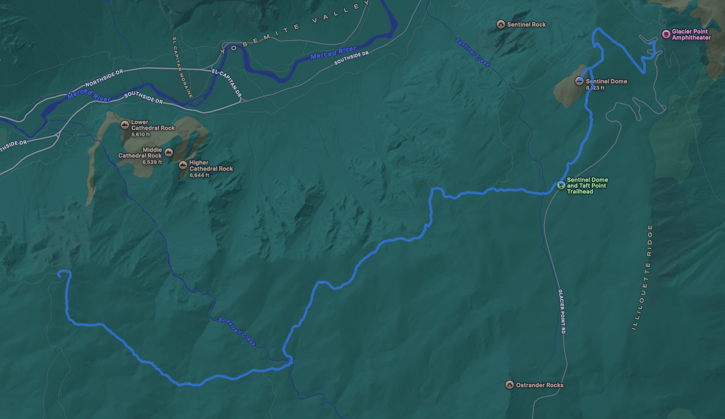
8.6 miles, 5 hrs 24 mins, 1824 ft of ascent
With a few days to go to the three-day weekend, we weren’t completely sure what we were going to do. Cassie had a few choices of things to do and ultimately chose Yosemite over Lassen and Big Sur. And it was lucky that we could even choose Yosemite as most of the backcountry permits were completely booked, but I saw two permits for Glacier Point, so we nabbed that in a hurry.
We grabbed the permits the day before and we made it to Glacier Point around 8 a.m. so that we would be guaranteed a camping spot, since we felt that the parking lot would fill up in the morning. And because we arrived early, we were able to find a spot without a worry.
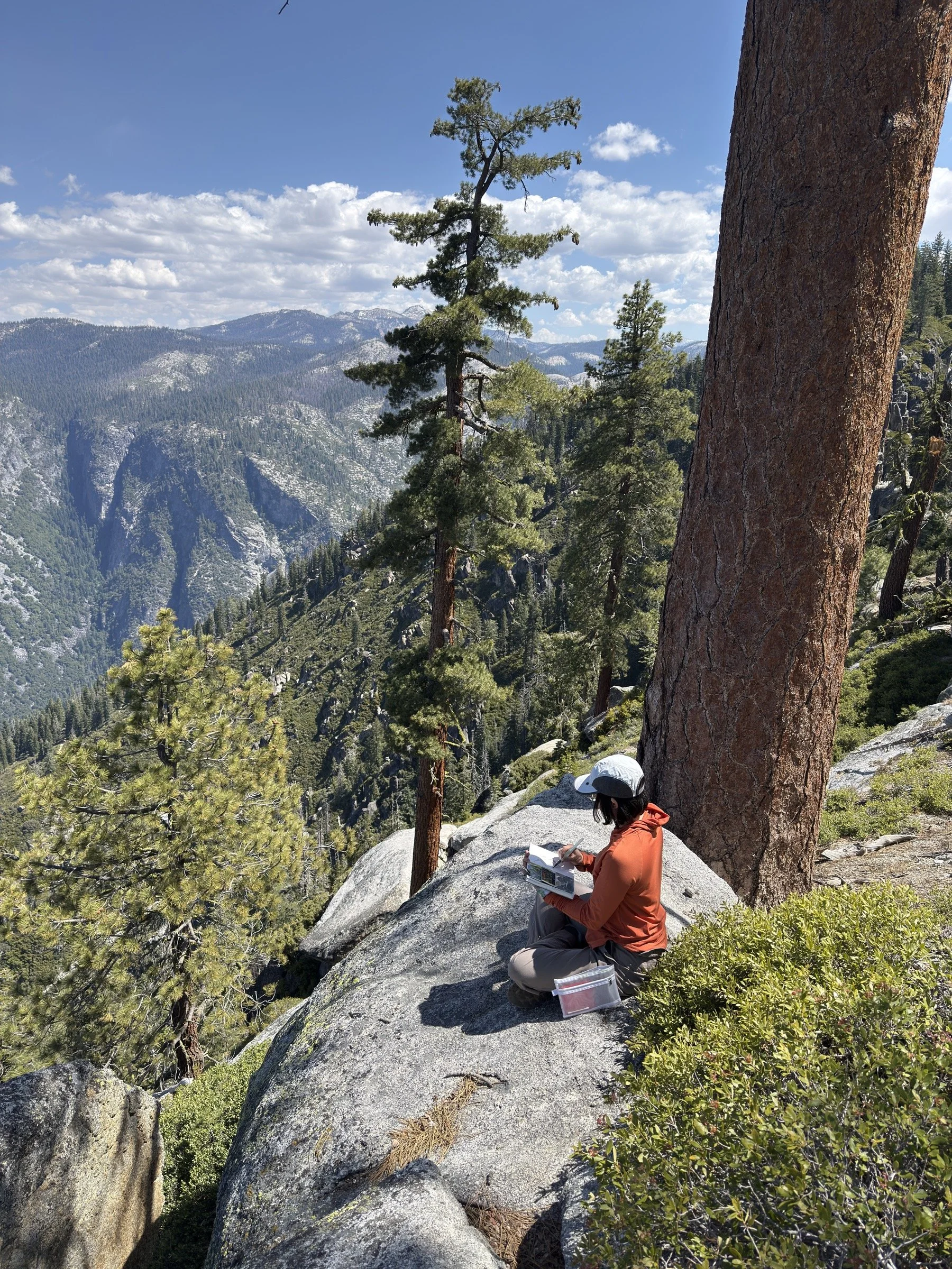
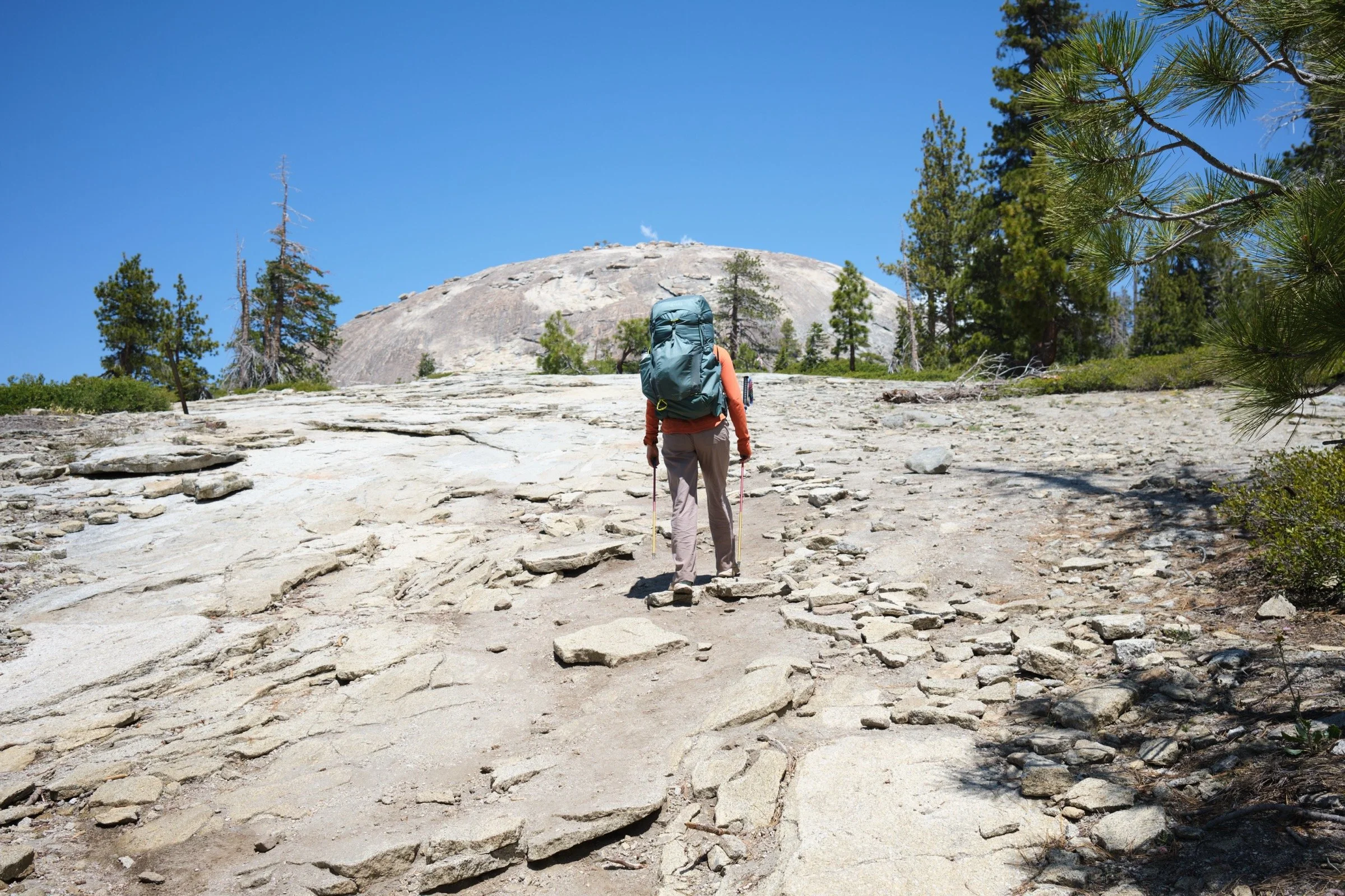
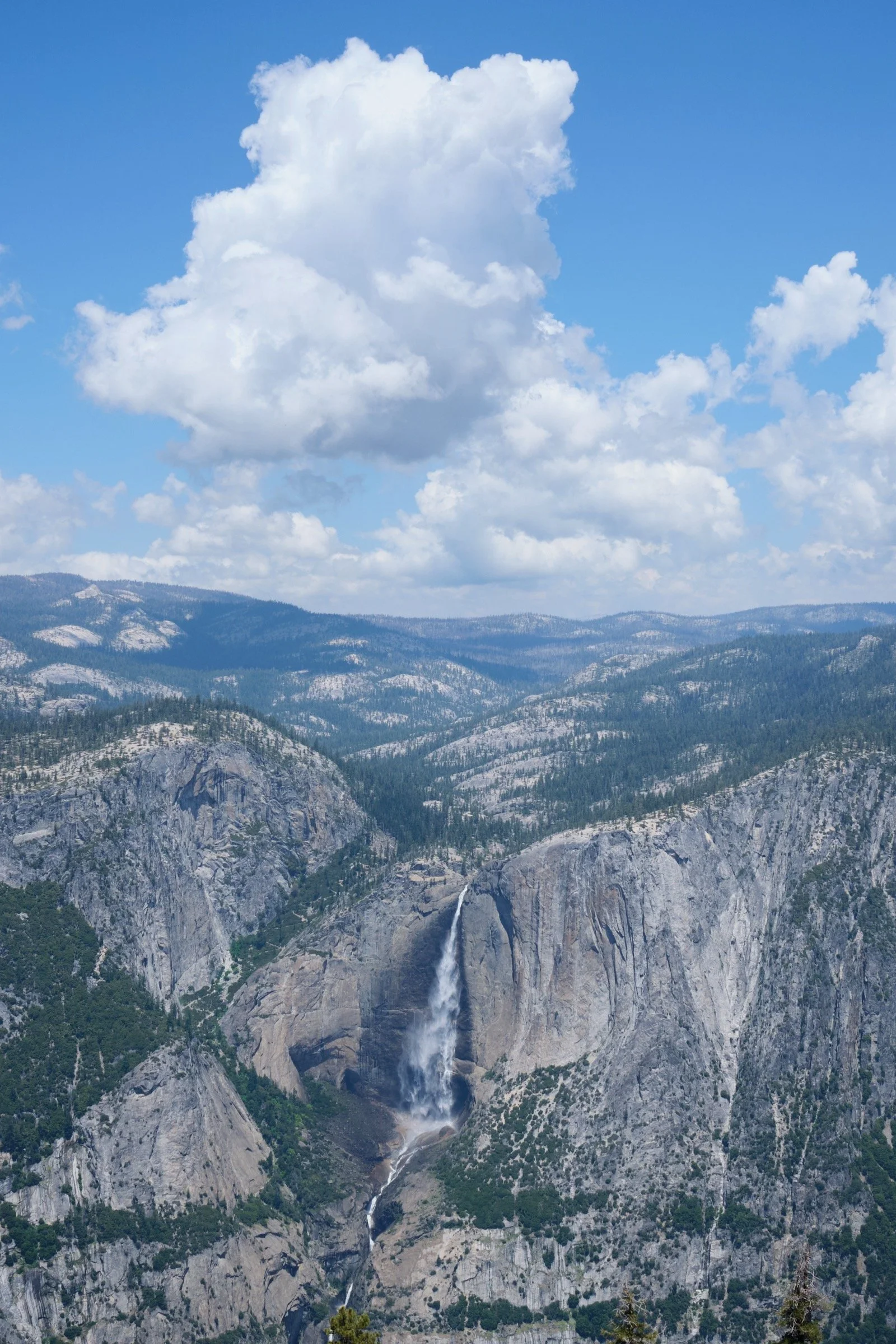
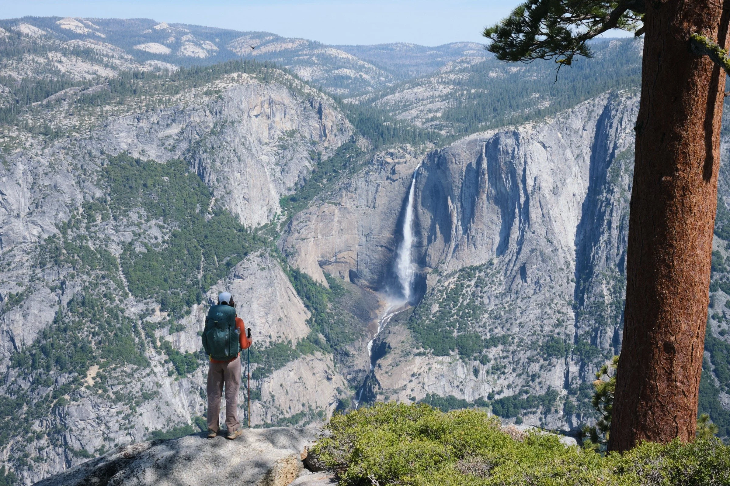
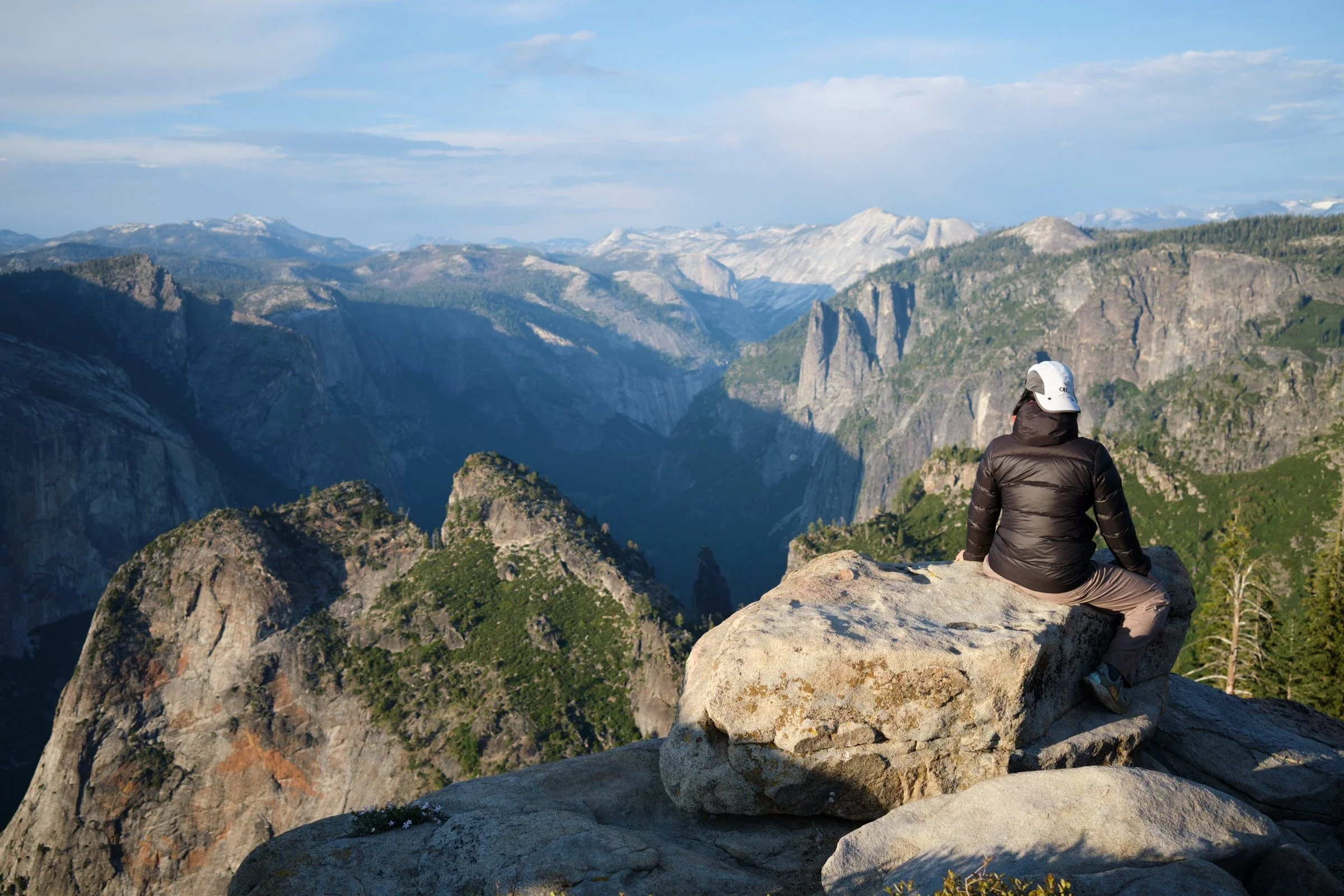
The hike started out tough as we needed to climb out of Glacier Point and get over the shoulder of Sentinel Dome. We gained about 500 ft of elevation in half a mile, but the views were nice and we were getting warmed up, so while the hiking was not easy, it wasn’t too bad. We then made our way down to Roosevelt Point and enjoyed the commanding views of Yosemite Valley. And before we left the Ponoho Trail to get to Roosevelt Point, we took a small painting break where Cassie got to plein air paint the Yosemite Falls while I read a book I had brought. Because Yosemite Falls was right across from the valley from us, we had a prime view of both the Upper and Lower Yosemite Falls and we could even make out Middle Earth (the area between the two waterfalls).
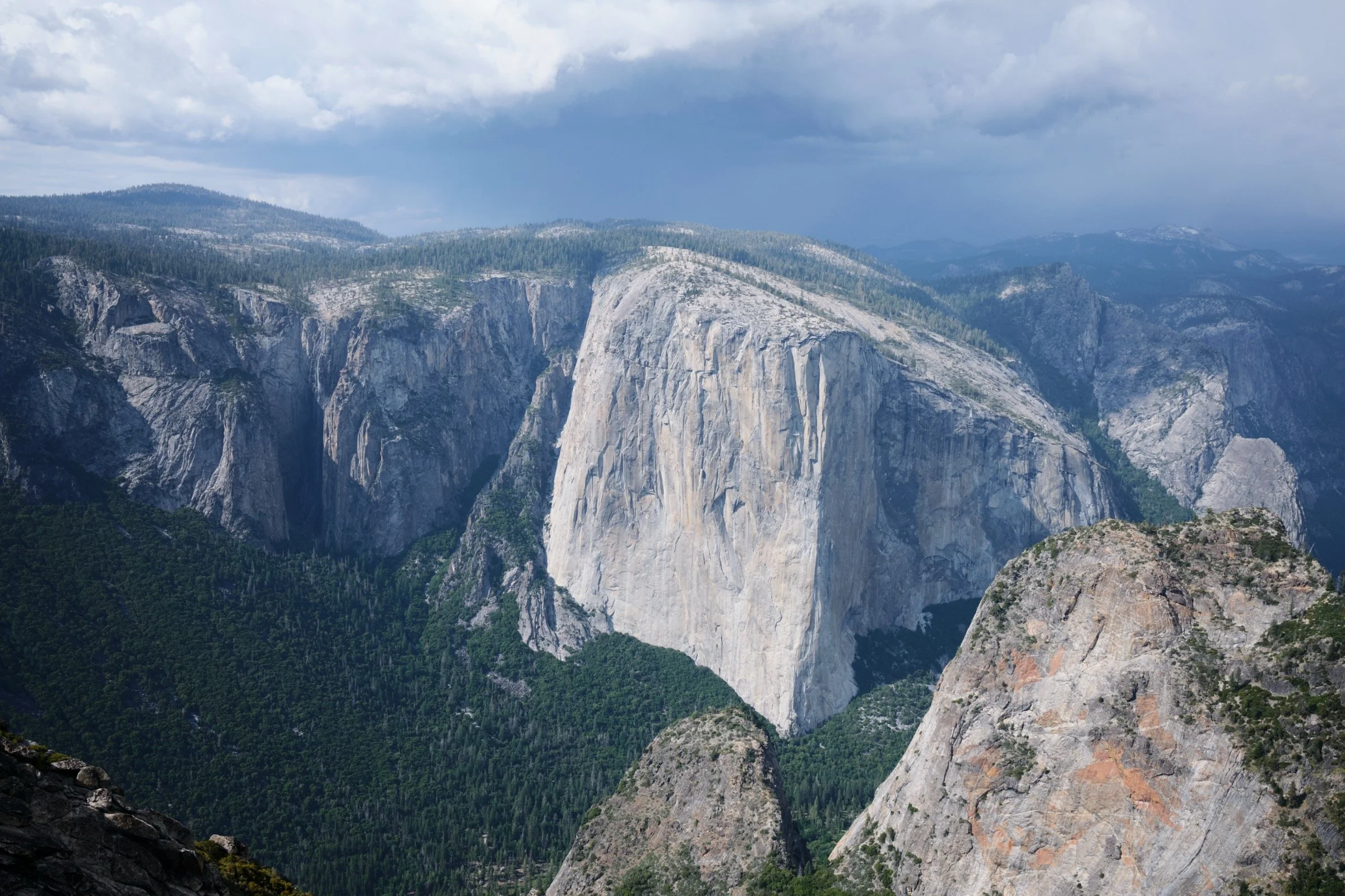
We then made our way down to Roosevelt Point and Taft Point. At Taft Point, I was starting to overheat a bit, but we took a small break here because I had forgotten that Dean Potter had made his fateful jump from Taft Point. When I saw the view from Taft Point, I saw the Notch that he had attempted to fly through and I immediately connected the dots. And looking from my vantage point, I could not believe Dean would even attempt that as the Notch looked much too close to Taft Point. For those who have not seen it, I would highly recommend the documentary series on HBO called The Dark Wizard.
After Taft Point, we made our way down to Bridalveil Creek, where we stopped and had lunch. Our lunch was Mountain House’s excellent Chicken Tikka Masala (one of my favorites of all time) and mediocre Pad Thai with Chicken. Cassie actually liked the Pad Thai much more than I did, but it was good we had both, as we were hungry and needed to replenish our energy. We also filtered the water here, and it tasted oh-so-good, especially since we used the gravity to filter our water and we didn’t have to push it through manually like we used to.
After this nice break, we headed up to Dewey Point, and the hike was rough. It was all uphill, and I was pretty tired at this point, so I just trudged on and tried to stay positive. It got even harder at the last stream crossing as we had to fill all of our water bottles and bladder since Dewey Point didn’t have any water.
When we got to Dewey Point, we enjoyed the views for a while and found the campsite we wanted. When we had put the inner layer of the tent up, we had a bit of rain start to fall on us, so we quickly finished setting up the tent and waited out the rain, which fell on us for 30 minutes or so.
After the rain, we went back to Dewey Point and enjoyed the views a bit more. We didn’t especially like the other campers around us as one had music blaring and another had an illegal campfire going. But at least we got to enjoy sunset views and a yummy dinner before we retired for the night.
I woke up around 5 a.m. as what felt like hundreds of birds were squawking endlessly. And because I had lent Cassie my earplugs for the night (because I snore way too loudly), I had to just toss and turn until I could let my lethargy take me back to sleep. We ended up waking up around 6 a.m. We slowly cleaned up our camp, ate a bit of breakfast, and hit the trail so that we could beat the heat.
Even though our feet and legs were sore from the day before, we actually hiked faster and better on the second day. We think it’s probably because we acclimated to the altitude, and the easier hiking made us happier. The pretty views from the trail didn’t hurt either.
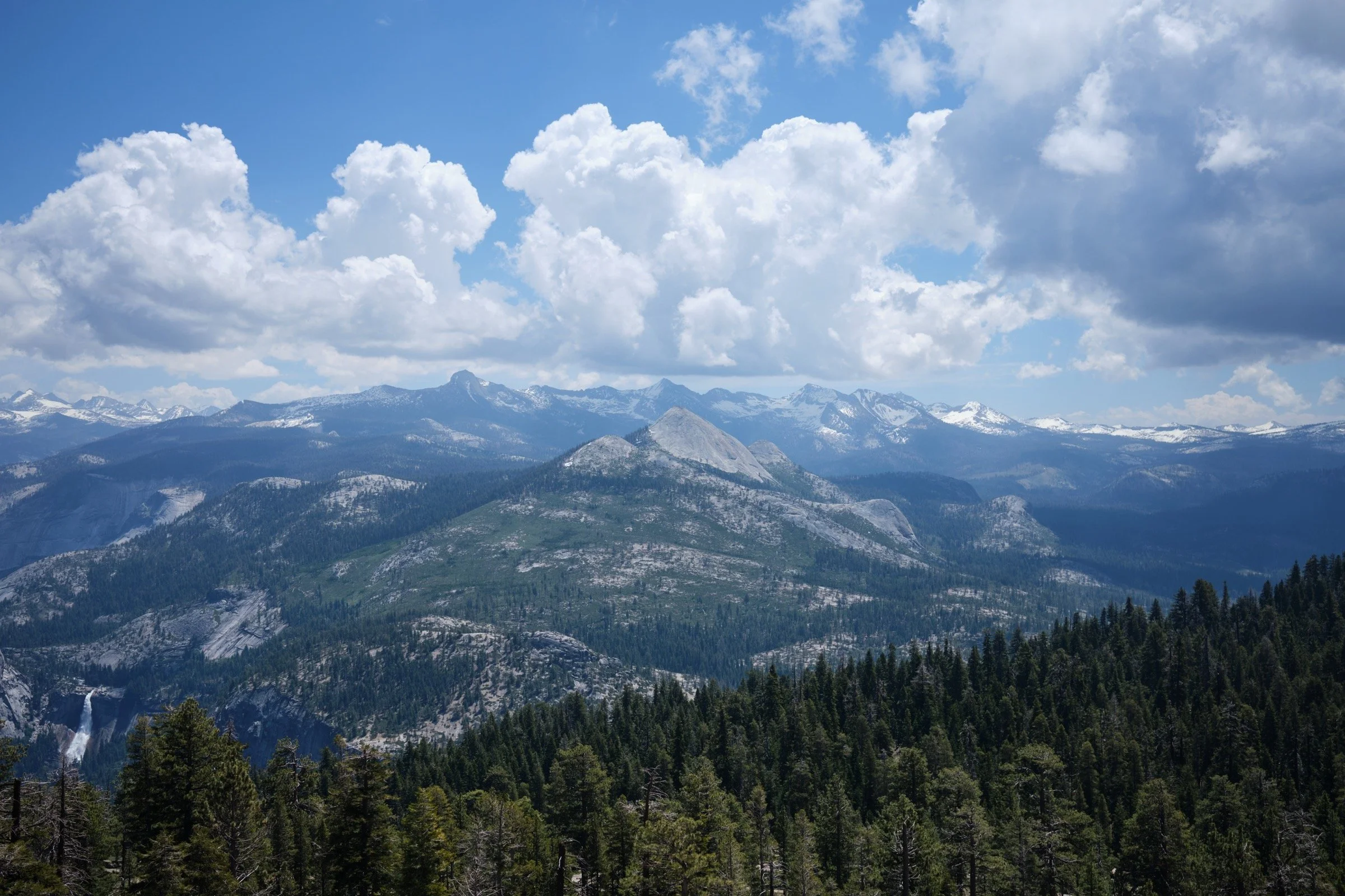
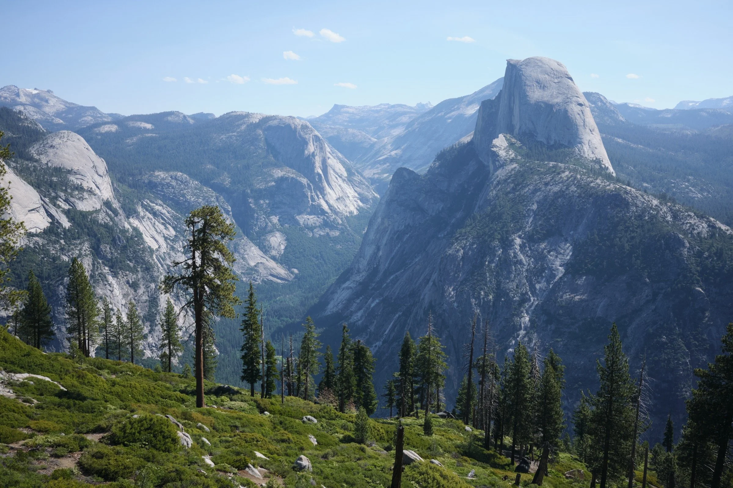
After Taft Point, we decided to hike up to Sentinel Dome, so that we could see some new sights. It was also nice to hike the Sentinel Dome Trail, since we could easily swing by to use the restroom at Sentinel Dome Trailhead. When we got to the foot of Sentinel Dome, we dropped our backpacks and hiked up to the top unencumbered. It was freeing to get that weight off our backs and to get clear 360 views of Yosemite Valley. My favorite view was of Mount Starr King, as it is a mountain I would like to hike/climb up someday (it’s a ~16-mile hike with ~5000 ft of elevation gain with a few pitches of 5.2 climbing at the top).
It was all downhill from there as we made our way to Glacier Point, where we washed our dusty face and legs and ate some ice cream at the Glacier Point Gift Shop and Snack Stand. We then drove to the Wawona Ranger Station to return the borrowed bear vault before ultimately heading to Tandoori Express in Oakhurst, which is my favorite Indian restaurant near Yosemite.